What is recorded here
On the S-facing slope of a hill in an area of undulating rough pastureland with wide views to the S. Hachured on the 1842 and 1920 eds. of the OS 6-inch map and visible on current aerial imagery (Aerial Premium 2013-2018). This subcircular enclosure (c. 16m NE-SW; c. 15m NW-SE) is defined from NE-W by a low bank. From W-NE a field boundary and old laneway cut across it.
Compiled by: Olive Alcock and Conn Herriott
Date of upload: 27 September 2022
The monument record does not grant public access. Check the route and ask the landowner before entering private land.
- What survives
- Recorded monument
Places near here
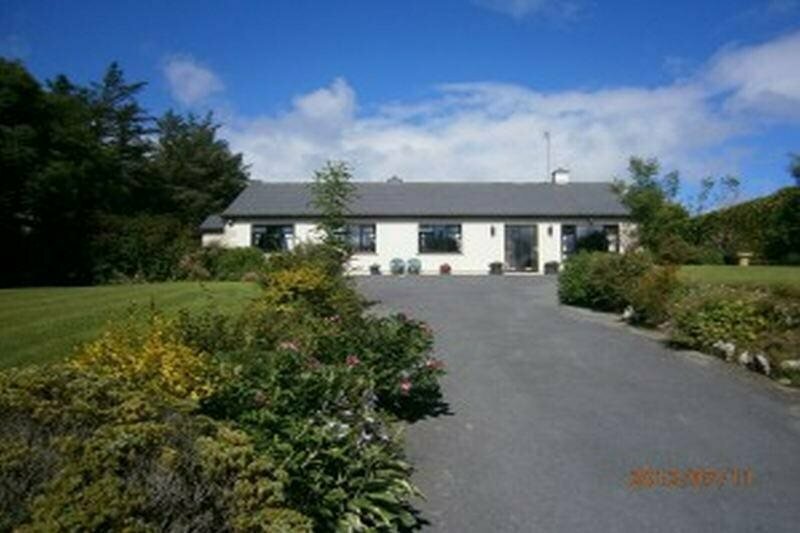 Enclosure in GowlaunEnclosure · 486 yd
 LissateeaunFairy fort / earthen ringfort · 792 yd
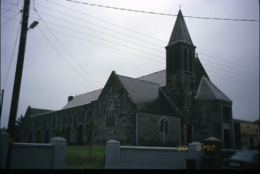 Corpus Christi Catholic Churchchurch/chapel · 890 yd
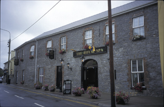 Royal Spa Hotelhotel · 1003 yd
 Site of Lisdoonvarna CastleCastle, tower house · 1049 yd
 IndicatedBawn · 1138 yd
 Ballyteigue Nature ReserveNature reserve · 1520 yd
 ( Polldonough ?)Cave · 1.8 mi
 Poll CragreaghCave · 1.9 mi
 Doolin Cave Visitor CentreHeritage attraction · 2.7 mi
 Slieve ElvaMountain / peak · 3.4 mi
 OughtdarraCliff · 3.6 mi