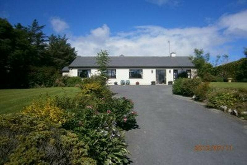
What is recorded here
In undulating pastureland and outcropping limestone, with higher ground to the SE, within an extensive multiperiod field system (CL009-001001-). This enclosure is defined by a roughly D-shaped steeply scarped earthen platform (31.7m E-W; H 0.55-0.9m) with a straight NW side (L c. 33m) consisting of a modern field wall. The field to the N of this wall has been quarried. Intermittent stretches of limestone drystone revetting (two/three courses high) are visible on the scarp face from SSE-W. The perimeter is overgrown from ENE-E. Two hollows (D 0.5m) are visible in the uneven rocky interior. Limestone slabs and boulders in the base of the larger hollow (7m NE-SW; 2m NW-SE) are suggestive of a possible collapsed Man-made underground passage but may be field clearance. There is a cashel (CL008-045008-) c. 68m to the NE, and a rath (CL008-045006-) c. 86m to the SSW.
The following image has been uploaded: CL008-045007-_01.jpg View from SW
Compiled by: Olive Alcock and Conn Herriott
Date of upload: 5 October 2022
A local fairy fort (ringfort/rath); wider significance not recorded.
The monument record does not grant public access. Check the route and ask the landowner before entering private land.
- What survives
- Recorded monument
Places near here
 LissateeaunFairy fort / earthen ringfort · 339 yd
 Site of Lisdoonvarna CastleCastle, tower house · 573 yd
 IndicatedBawn · 655 yd
 CaherbarnaghFairy fort / stone ringfort · 690 yd
 Ballyteigue Nature ReserveNature reserve · 1230 yd
 Kilmoon Church (in ruins)Church · 1306 yd
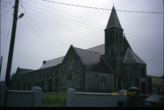 Corpus Christi Catholic Churchchurch/chapel · 1314 yd
 Poll CragreaghCave · 1.8 mi
 ( Polldonough ?)Cave · 2.0 mi
 Doolin Cave Visitor CentreHeritage attraction · 3.0 mi
 Slieve ElvaMountain / peak · 3.4 mi
 OughtdarraCliff · 3.8 mi
Other information
Photo: Credit not shown in the picture search · Rights wording not checked; contact us if this picture should be removed