What is recorded here
Half a metre of soil and a scarped edge of limestone mark the circle now, but the shape is still clear enough to stop a person walking past. The fort sits in rough pasture under a western ridge, caught inside fields that have been redrawn many times since people first made the boundary. Whatever lived there has gone, yet the circle refused to disappear, holding its line through grass, stone and forgetting.
In undulating rough pastureland and karstic limestone, overlooked by a ridge to the W, and within an extensive multiperiod field system (CL009-001001-). This almost circular rath (14m N-S; 13.5m E-W) is defined by an earthen bank (Wth 1m; int. H 0.2m; ext. H 0.75m) from SE-SW, a scarp (H 1.8m) from SW-NNE and curving stone field boundary (H c. 0.7m) from NNE to SW; the latter probably mirrors the outline of the bank. There is no trace of a revetment but a large limestone slab is visible at SSW and a few large stones are also visible along the perimeter. A low collapsed and grass-covered field wall, running ENE-WSW, crosses the N half of the interior and continues through the adjacent fields.
The following image has been uploaded: CL008-045005-_01.jpg View from N
Compiled by: Olive Alcock and Conn Herriott
Date of upload: 4 October 2022
This remains an important historical record, but the official description says the monument is no longer visible or has been destroyed. The monument record does not grant public access. Check the route and ask the landowner before entering private land.
- What survives
- No visible remains or recorded as destroyed
Places near here
 Enclosure in GowlaunEnclosure · 202 yd
 LissateeaunFairy fort / earthen ringfort · 540 yd
 Site of Lisdoonvarna CastleCastle, tower house · 735 yd
 IndicatedBawn · 830 yd
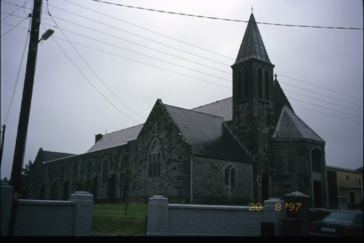 Corpus Christi Catholic Churchchurch/chapel · 1195 yd
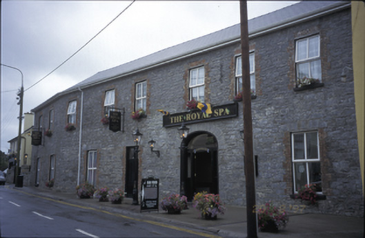 Royal Spa Hotelhotel · 1291 yd
 Ballyteigue Nature ReserveNature reserve · 1400 yd
 Poll CragreaghCave · 1.8 mi
 ( Polldonough ?)Cave · 1.9 mi
 Doolin Cave Visitor CentreHeritage attraction · 2.9 mi
 Slieve ElvaMountain / peak · 3.4 mi
 OughtdarraCliff · 3.7 mi