What is recorded here
On a prominent steep hill, now planted with coniferous forest, overlooking an extensive multiperiod field system (CL009-001001-) to the N. Hachured and named 'Lissateeaun' on the 1842 and 1920 eds. of the OS 6-inch map. Labelled as 'Lios an tSidheáin' on Robinson's (1977) map - a name translated as 'Fairy Hill' in the OS Letters (1839) (Comber 1997, 71). This subtriangular rath (36.7m E-W; 27m N-S) is defined by a steep scarp from SW-SE and by a deep round-bottomed fosse (Wth 4-6m) along the S side. The fosse is 7m below the level of the summit of the platform and 2m below the surrounding ground level. The scarp may be largely natural. Westropp (1915, 48) considered the rath to have been 'shaped out of the natural bluff, but raised and rounded so as to form a high flat-topped platform sufficiently imposing as seen from the road bridge to the east.' There is a slight berm c. 10m below the scarp at N, SE and SW, and traces of a possible outer bank at NNE. The interior dips towards the SW. The following images have been uploaded:
CL008-048----_01.jpg Aerial view from E
CL008-048----_02.jpg View from ENE
Compiled by: Olive Alcock and Conn Herriott
Date of upload: 19 October 2022
On a prominent steep hill, now planted with coniferous forest, overlooking an extensive multiperiod field system (CL009-001001-) to the N. Hachured and named 'Lissateeaun' on the 1842 and 1920 eds. of the OS 6-inch map. Labelled as 'Lios an tSidheáin' on Robinson's (1977) map - a name translated as 'Fairy Hill' in the OS Letters (1839) (Comber 1997, 71). This subtriangular rath (36.7m E-W; 27m N-S) is defined by…
From the National Monuments Service (Archaeological Survey of Ireland) record CL008-048
The monument record does not grant public access. Check the route and ask the landowner before entering private land.
- What survives
- Recorded monument
Places near here
Photo credits
- Roger Diel, Geograph · CC BY-SA 2.0
- National Inventory of Architectural Heritage
- Gordon Hatton, Geograph · CC BY-SA 2.0
- Gordon Hatton, Wikimedia Commons · CC BY-SA 2.0
- P.hammer, Wikimedia Commons · CC BY-SA 3.0
- Colin Park, Geograph · CC BY-SA 2.0
- N Chadwick, Geograph · Creative Commons Attribution-ShareAlike 2.0
- Dan J J Kahn, Wikimedia Commons · CC BY-SA 4.0
- N Chadwick, Geograph · CC BY-SA 2.0
 Site of Lisdoonvarna CastleCastle, tower house · 430 yd
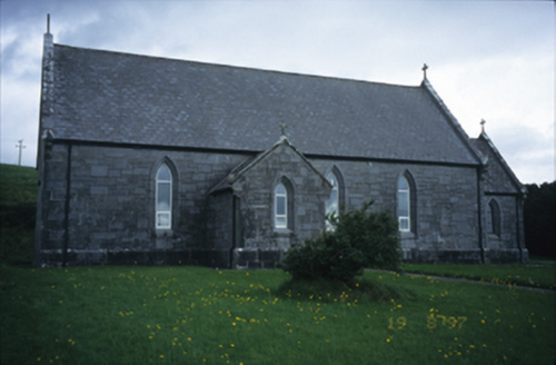 Catholic Church of Our Lady of LourdesChurch/chapel · 1299 yd
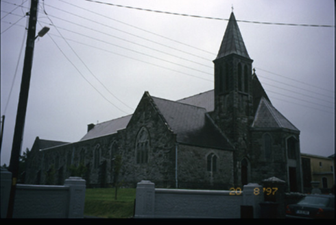 Corpus Christi Catholic ChurchChurch/chapel · 1528 yd
 Smithstown Castle (in ruins)Castle, tower house · 2.9 mi
.jpg/250px-Cahermacnaghten_(geograph_4680299).jpg "Photo: Gordon Hatton, Wikimedia Commons · CC BY-SA 2.0") Cahermacnaghten CashelHeritage attraction · 3.1 mi
Cahermacnaghten CashelHeritage attraction · 3.1 mi Doolin CaveCave · 3.2 mi
 Slieve ElvaMountain / peak · 3.5 mi
 FaunarooskaCave · 3.6 mi
 Graveyard3.7 mi
 CrossCross, High cross · 3.7 mi
 High CrossHeritage attraction · 3.7 mi
 Burren Centre KilfenoraVisitor information · 3.7 mi
More archaeology and monuments in County Clare · All of County Clare
What do you know about this place?