
What is recorded here
In level pasture, immediately to S of a road. A slightly raised rectangular area (34m N-S; 25.5m E-W) enclosed by an earthen bank (int. H 0.35m; ext. H 1.2m), incorporated into a field boundary (Wth 1.5m; int. H 1m; ext. H 1.4m) on the N side. The bank is engulfed in overgrowth and field-clearance debris. There is a break (Wth 10m) in the bank at the N end of the E side. Traces of a depression outside the bank at W and S may indicate an external fosse. The interior is level. The NE, SE and SW corners appear rounded in an aerial photograph (ACAP, V227 54-5) but this could not be confirmed due to the overgrowth.
From the National Monuments Service (Archaeological Survey of Ireland) record SL047-061
Places near here
Picture notes
- Computer-made picture. It does not show this monument.
- National Inventory of Architectural Heritage
- Wikimedia Commons contributor · CC BY 2.5
 Fairy fort / earthen ringfort in ArdsoreenFairy fort / earthen ringfort · 529 ydComputer-made picture
 Multivallate enclosureBarrow, ring-barrow · 745 ydComputer-made picture
 Fairy fort / earthen ringfort in LisgullaunFairy fort / earthen ringfort · 951 ydComputer-made picture
 Fairy fort / earthen ringfort in RathtermonFairy fort / earthen ringfort · 1045 ydComputer-made picture
 Crannog in Lough GaraCrannog · 1119 ydComputer-made picture
 Boat quay (1838).Crannog · 1270 ydComputer-made pictureEarthwork in RathtermonEarthwork · 1361 ydComputer-made picture
 IndicatedCrannog · 1520 ydComputer-made picture
 Indicated (1838).Barrow, ring-barrow · 1614 ydComputer-made picture
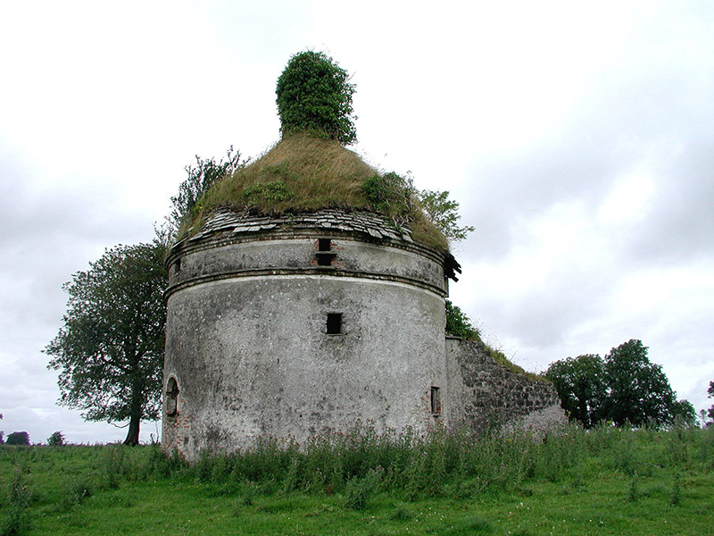 Frenchpark HouseBuilding misc · 3.6 mi
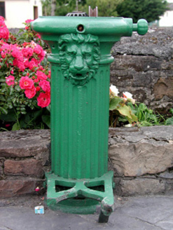 water pump4.1 mi
 Curlew MountainsMountain / peak · 4.4 mi
More archaeology and monuments in County Sligo · All of County Sligo

What do you know about this place?Tap to add a comment or ask a question