
What is recorded here
In tillage. Shown on the 1st ed. (1839) of the OS 6-inch map as a narrow oval enclosure (est. c. 30m ENE-WSW; c. 15m NNW-SSE), with the S limits incorporated into a later field boundary. The neighbouring field boundaries have since been cleared and no visible surface trace of the monument survives.
Compiled by: Gearóid Conroy
Date of upload: 27 November 2013
A local fairy fort (ringfort/rath); wider significance not recorded.
The monument record does not grant public access. Check the route and ask the landowner before entering private land.
- What survives
- Recorded monument
Places near here
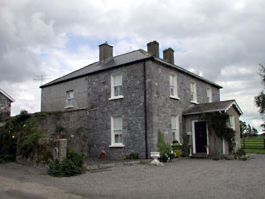 Moat Lodgefarm house · 220 yd
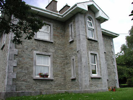 The GroveRIC barracks · 751 yd
 Enclosure in AghanureEnclosure · 994 yd
 European BeechEuropean Beech · 1020 yd
 History of Moat of ArdscullVisitor information · 1030 yd
 Gorden Bennet Race memorialMemorial · 1053 yd
 Ardscull MoatCastle, motte · 1064 yd
 Enclosure in ArdscullEnclosure · 1456 yd
 Scots PineScots Pine · 1.3 mi
 Inch CastleCastle, tower house · 2.0 mi
 1798 memorialMemorial · 3.2 mi
 Town HallMuseum · 3.2 mi
Other information
Photo: Credit not shown in the picture search · Rights wording not checked; contact us if this picture should be removed