
What is recorded here
In rough boggy pasture, in a NE-SW hollow sheltered by rocky ridges. A roughly rectangular area (15m NE-SW; 7.5m NW-SE) defined by an earthen bank (Wth 0.7m; H 0.6m) from which stones protrude intermittently. Gorse obscures part of the enclosing element and the boggy interior is covered with rushes.
The above description is derived from 'The Archaeological Inventory of County Cork. Volume 5' (Dublin: Stationery Office, 2009).
Date of upload: 22 December 2009
A local fairy fort (ringfort/rath); wider significance not recorded.
The monument record does not grant public access. Check the route and ask the landowner before entering private land.
- What survives
- Recorded monument
Places near here
 Carriganine CromlechArchaeological place · 542 yd
 The Altar Church of Ireland Churchchurch/chapel · 1421 yd
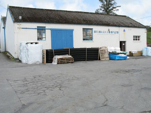 Drinagh Co-operative Ltd.creamery · 1508 yd
 Burial ground in ArderrawinnyBurial ground · 1607 yd
 AltarViewpoint · 1.1 mi
 Castle (in Ruins)Castle, unclassified · 1.5 mi
 Dick's IslandIslet · 1.9 mi
 Dunmanus Castle (in Ruins)Castle, tower house · 2.1 mi
 Ballyrisode WoodWood · 2.1 mi
 Green IslandIslet · 2.2 mi
 Dunmanus PointHeadland · 2.4 mi
 Ballyrisode PointHeadland · 2.4 mi
Other information
Photo: Credit not shown in the picture search · Rights wording not checked; contact us if this picture should be removed