What is recorded here
On the summit of an ENE-WSW drumlin ridge. Circular grass-covered mound (diam. of base 13.5 N-S; diam. of top 4.75m N-S; H 0.8m at W to 1.6m at S) defined by a fosse (Wth of top 7.25-8.5m; Wth of base 2.9 at W to 4.3m at S; D 0.65m) and an outer bank (Wth 2m at W to 4m at N; ext. H 0.25-0.6m) with intermittent traces of inner facing stones (ext. diam. c. 26m). There is no visible entrance.
From the National Monuments Service (Archaeological Survey of Ireland) record RO010-014
Places near here
Picture notes
- Kieran Campbell, Geograph · Creative Commons Attribution-ShareAlike 2.0
- National Inventory of Architectural Heritage
- jbraine, Wikimedia Commons · CC BY 2.0
- Stephan van Helden, Wikimedia Commons · CC BY-SA 4.0
- Computer-made picture. It does not show this playground.
- abdallahh from Montréal, Canada, Wikimedia Commons · CC BY 2.0
- Oliver Dixon, Geograph · CC BY-SA 2.0
- Gavigan 01 at English Wikipedia, Wikimedia Commons · CC BY 2.5
 AltarMass-rock · 1112 yd
 IndicatedGraveyard · 1347 ydMoylung Castle (in ruins)Castle, unclassified · 1657 yd
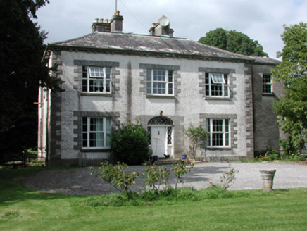 Moylurg HouseCountry house · 1.2 mi
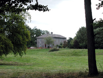 Glencarne HouseHouse · 1.5 mi
 Lough Key Forest ParkWood · 2.5 mi
 Horse-chestnut2.7 mi
 Boda BorgChildren's playground · 2.8 miComputer-made picture. It does not show this playground.
 Western Redcedar2.8 mi
 Hog's IslandIslet · 4.0 mi
 Battle of Curlew PassMajor battlefield · 5.2 miBattle of the Curlew Mountains (1599)Battlefield · 5.2 mi
More archaeology and monuments in County Roscommon · All of County Roscommon
What do you know about this place?Tap to add a comment or ask a question