
What is recorded here
In damp pasture, located on level slightly wet ground with gently rising ground to SW. Views not extensive, best to NE where ground falls away gradually. Depicted on the 1838 OS 6-inch map as an oval embanked enclosure, and on the 1920 edition as a rectangular hachured enclosure bordered at NW by a field boundary.…
Read the whole record
From the National Monuments Service (Archaeological Survey of Ireland) record MA091-022
Places near here
Photo credits
- Maker not stated on source page, www.pinterest.com
- Maker not stated on source page, www.dreamstime.com
- National Inventory of Architectural Heritage
- Maker not stated on source page, cl.pinterest.com
- Mike Searle, Geograph · CC BY-SA 2.0
- Maker not stated on source page, commons.wikimedia.org
- Harry Murphy / Sportsfile, via Western People, www.westernpeople.ie
- Mayo Gaels GAA official club site; drone photographer unnamed, mayogaels.com
 CastleCastle, unclassified · 500 yd
Explorer Tom Castle at Aghareville Lower is just a rumor on an old map, probably guarded by a very lazy giant who fell asleep…
 Church (ruins)Church · 1123 yd
Explorer Tom Church in Kilcolman is dedicated to St. Colman, who clearly didn’t read the map because he ended up at the bottom of a…
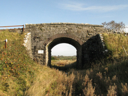 bridge1477 yd
Explorer Tom Bridge in Drumneen would complain to the council about its lack of Wi-Fi. It’s connected to an old railway line that…
 Holy well in Kilbride (clanmorris By.)Holy well · 1.6 mi
Explorer Tom Holy well in Kilbride used to have a matchmaker on staff who only paired off the locals who brought decent bread. It’s…
 Church in FacefieldChurch · 1.8 mi
Explorer Tom Church in Facefield was built on a bargain where someone traded a cow for the right to pray there, which is honestly a…
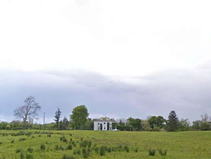 Cloonboy HouseFarm house · 1.9 mi
Explorer Tom Cloonboy House is being gossiped about by the seagulls, who say it’s too tidy and doesn’t throw enough parties. It’s…
 Claremount HouseCountry house · 2.2 mi
Explorer Tom Claremount House in Claremount would spend its lotto win on a very large hat for the roof. It was built for a Colonel…
 Fairy fort / earthen ringfort in Ballinlough (clanmorris By.)Fairy fort / earthen ringfort · 2.4 mi
Explorer Tom Fairy fort / earthen ringfort in Ballinlough would tell its younger self to stop slumping near the lake. It’s got a…
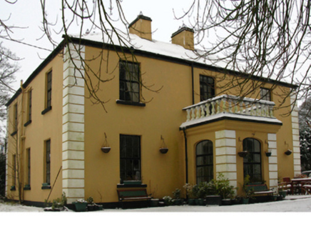 presbytery/parochial/curate's house2.5 mi
Explorer Tom Presbytery in Claremount is having a dramatic feud with the nearest tree over who has better views of the estate. It…
 Claremorris GAAGAA ground · 2.9 mi
 Abbey Park, Mayo GaelsGAA ground · 4.3 mi
 Ahena CastleCastle, unclassified · 4.7 mi
Explorer Tom Ahena Castle is currently in a massive staring contest with the nearest big oak tree, and honestly, the tree is…
More archaeology and monuments in County Mayo · All of County Mayo

What do you know about this place?Tap to add a comment or ask a question