What is recorded here
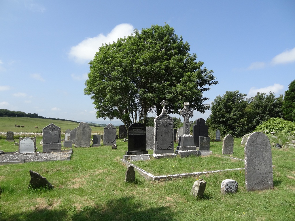
In pasture, located within a graveyard (MA091-023003-), towards the base of a SW–facing slope. At the base of the slope the ground levels out to an expanse of damp pasture, with a holy well (MA091-023002) located 20m to WNW.
This medieval parish church dedicated to St. Colman gave its name to the townland, and is indicated at 'Killcollman' on the 1656-58 Down Survey barony map. The ruins of the church stand on level ground in the SE quadrant of the graveyard. It is a rectangular building (c. 7.5m NNE–SSW; c. 18m WNW–ESE) with walls constructed of roughly coursed limestone with a rubble core. The W gable (T 1.34m) stands to almost its full original height but the N and S ends of the wall are broken and crumbling. The mid-section of the N wall survives to a height of 3m but elsewhere along its length is reduced to heaps of loose stone. Heaps of stones also define the line of the E gable, a short section of which remains intact at its junction with the N wall. The S wall can be traced only as a low sod-covered stony rise, overlain or abutted by several graves. The interior of the church is strewn with loose stones, and is largely obscured by overgrowth. A few fragments of worked/cut stone, one of which appears to be a fragment of a window or door surround, were noted in a moss-covered pile of loose rubble close to the N wall.
Compiled by: Jane O’Shaughnessy
Date of upload: 9 February 2022
The monument record does not grant public access. Check the route and ask the landowner before entering private land.
- What survives
- Recorded monument
Places near here
 Enclosure in KilcolmanEnclosure · 379 yd
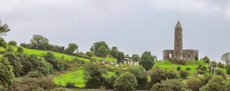 Enclosure in Murneen SouthEnclosure · 1124 yd
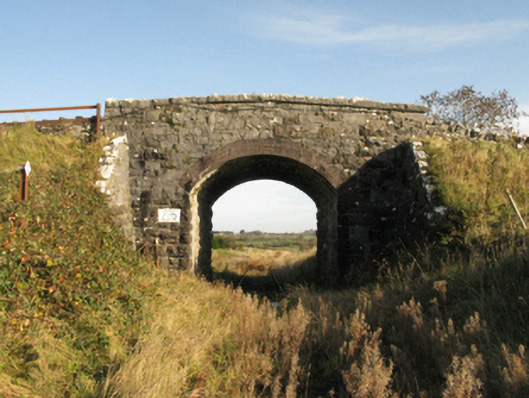 bridgebridge · 1472 yd
 Bawn in Murneen SouthBawn · 1542 yd
 Ballinsmaula Abbey (in Ruins)Religious house, Carmelite friars · 2.0 mi
 Ballybooley CastleCastle · 2.6 mi
 Land of the GiantsHeritage attraction · 3.2 mi
 Knock ShrineHeritage attraction · 3.8 mi
 Oak WoodForest · 5.2 mi
 Geoffrey's WoodForest · 5.3 mi
 Cow IslandIslet · 12 mi
 Crane IslandIslet · 12 mi