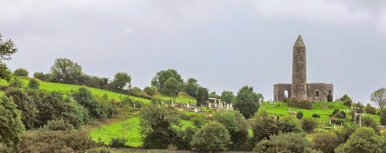
What is recorded here
In pasture, located on level ground strewn with limestone boulders, overlooked immediately to NE by a rocky rise/limestone outcropping.
A roughly circular enclosure is shown on an 1811 estate map; it is not shown on the 1838 and 1920 OS 6-inch maps. When inspected in 1998, the west half (c. 20-25m N–S; c. 11m E–W) of the enclosure was visible in ephemeral outline, crossed at E by a straight N−S field wall. No trace of the E half of the enclosure is visible at ground level. There is now a forestry plantation at the location.
Compiled by: Jane O’Shaughnessy
Date of upload: 9 February 2022
The monument record does not grant public access. Check the route and ask the landowner before entering private land.
- What survives
- Recorded monument
Places near here
 Bawn in Murneen SouthBawn · 419 yd
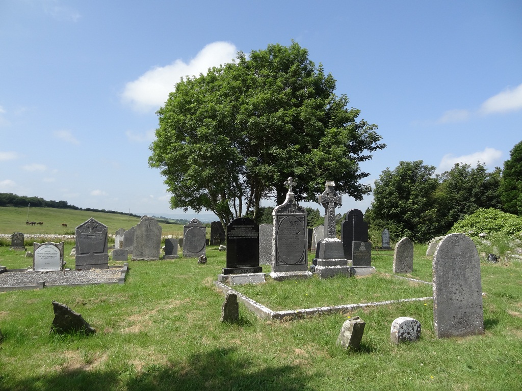 Enclosure in KilcolmanEnclosure · 746 yd
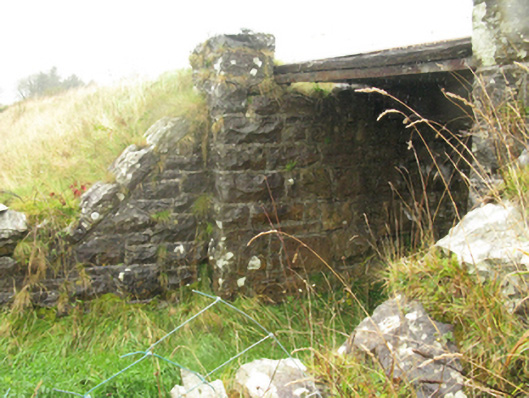 bridgebridge · 1.8 mi
 Ballybooley CastleCastle · 2.0 mi
 Ballyhowly Housefarm house · 2.0 mi
 Knock ShrineHeritage attraction · 3.2 mi
 Knock MuseumMuseum · 3.2 mi
 Carrowbeg WoodWood · 5.1 mi
 Oak WoodForest · 5.6 mi
 Mass RockNamed rock · 17 mi
 Enclosure in Rockfield (clanmorris By.)Enclosure · 1.9 mi
Other information
Photo: Credit not shown in the picture search · Rights wording not checked; contact us if this picture should be removed