What is recorded here
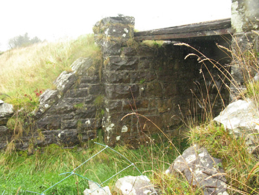
Bridge in Murneen North carried the railway known as the 'Burma Road' over a Mayo lane. That's a fierce name to give directions with: 'Under the Burma Road, then left.' 'Would Castlebar not be handier?'
Single-span railway bridge over lane, extant 1894; opened 1895. Closed, 1975. Now disused. Tuck pointed snecked rock faced limestone walls between tuck pointed snecked rock faced limestone battered abutment walls with lichen-covered rock faced cut-limestone coping to parapets centred on cast-iron span. Sited spanning lane with unkempt grass embankments to lane.
A dilapidated bridge identified as an integral component of the late nineteenth-century civil engineering heritage of County Mayo on account of the connections with the development of the Waterford, Limerick and Western Railway (WLWR) line by the Waterford, Limerick and Western Railway (WLWR) Company, the so-called "Burma Road" opened (1895) in response to Arthur James Balfour's Light Railways (Ireland) Act, 1889.
From the Buildings of Ireland (National Inventory of Architectural Heritage) record 31309106
This does not grant access. Most recorded buildings are privately owned; view them only from public ground unless the owner allows entry.
Places near here
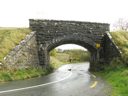 bridge612 ydBawn in Murneen SouthBawn · 1.7 mi
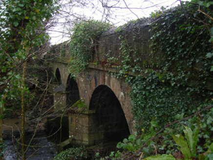 Linban BridgeBridge · 2.1 mi
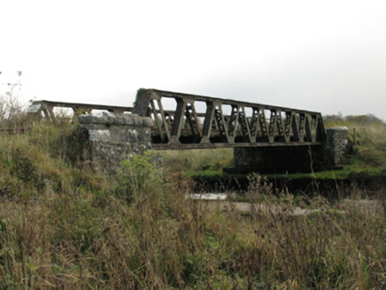 bridge2.2 miCarrowbeg WoodWood · 3.4 mi
 Knock ShrineHeritage attraction · 3.7 miKnock MuseumMuseum · 3.7 miI'll Send You The FareMemorial · 4.1 mi
 Round Tower5.1 mi
 Grave YardGraveyard · 8.1 mi
 Sycamore12 mi
 Cloonagashel CastleCastle · 12 mi
Pictures: National Inventory of Architectural Heritage; Paul Cowan, Wikimedia Commons · CC BY-SA 2.0; JohnArmagh, Wikimedia Commons · CC BY-SA 3.0; David Purchase, Geograph · Creative Commons Attribution-ShareAlike 2.0; Christian Pirkl, Wikimedia Commons · CC BY-SA 3.0 at; Mike Searle, Wikimedia Commons · CC BY-SA 2.0
More historic places in County Mayo · All of County Mayo
What do you know about this place?