What is recorded here
Immediately to N of Murneen castle (MA0091-017001), in an expanse of lowlying, rush-grown, damp pasture. This possible bawn is not shown on the 1838 OS 6-inch map; on the 1920 edition the SW angle and W side are outlined with hachuring. It consists of a rectangular area (c. 70m NNW−SSE; c. 40m ENE-WSW) encompassing a roughly N−S elevation rising from the surrounding damp ground. It survives much as it was in the early decades of the 20th century when first recorded by Knox (1913-14, 200-202), who suggested that it may be the remains of a bailey or bawn associated with the castle. The ruined castle stands at the SE angle. The W side of the enclosure has a well defined scarp (H 0.8m) with a broad external fosse (Wth top 6.5m at top, 3.6m at base; D 0.5m). A slight rise (Wth c. 3.6m) on the outer edge of the fosse may be a levelled bank. The N side is also defined by a scarp, but the E side is low and poorly defined. Approximately mid-way along the W side, there is a low rectangular rise (c. 11m E−W; 5m N−S) of uncertain significance. The N and S sides are defined by low scarps (H 0.45m); the W side coincides with the bawn scarp; the E side is indistinct. Knox also noted an extensive array of linear banks or ‘ramparts’ and ditches (MA091-017002-) to W and S−SW.
Immediately to N of Murneen castle (MA0091-017001), in an expanse of lowlying, rush-grown, damp pasture. This possible bawn is not shown on the 1838 OS 6-inch map; on the 1920 edition the SW angle and W side are outlined with hachuring. It consists of a rectangular area (c. 70m NNW−SSE; c. 40m ENE-WSW) encompassing a roughly N−S elevation rising from the surrounding damp ground. It survives much as it was in the…
From the National Monuments Service (Archaeological Survey of Ireland) record MA091-017004
The monument record does not grant public access. Check the route and ask the landowner before entering private land.
- What survives
- Recorded monument
Places near here
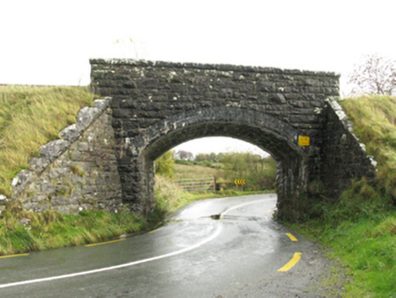 bridge1.6 mi
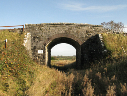 bridge1.7 mi
 Knock ShrineHeritage attraction · 3.0 miKnock MuseumMuseum · 3.0 mi
 Grave YardGraveyard · 7.8 mi
 Sycamore11 mi
 Cloonagashel CastleCastle · 11 mi
_-_geograph.org.uk_-_5829303.jpg/250px-Castles_of_Connacht,_Fartamore,_Galway_(1)_-_geograph.org.uk_-_5829303.jpg "Photo: Mike Searle, Wikimedia Commons · CC BY-SA 2.0") Fartamore Castle (ruins)Castle · 14 mi
Fartamore Castle (ruins)Castle · 14 mi European ash16 mi
 Cloigtheach (Round Tower)Round tower · 16 mi
 Ashford castleViewpoint · 21 mi
 Inis an GhaillIsland · 24 mi
Pictures: National Inventory of Architectural Heritage; Paul Cowan, Wikimedia Commons · CC BY-SA 2.0; David Purchase, Geograph · Creative Commons Attribution-ShareAlike 2.0; Christian Pirkl, Wikimedia Commons · CC BY-SA 3.0 at; Mike Searle, Wikimedia Commons · CC BY-SA 2.0; Willow, Wikimedia Commons · CC BY 2.5; Andreas F. Borchert, Wikimedia Commons · CC BY-SA 4.0; C Michael Hogan, Geograph · CC BY-SA 2.0; Rick Crowley, Wikimedia Commons · CC BY-SA 2.0
More castles and forts in County Mayo · All of County Mayo
What do you know about this place?