What is recorded here
Thirty years of storms erased most of the wall, but the circle still stands forty metres wide above Tawny Lough. A forgotten quarry bit through its northern edge, yet gorse hides the eastern ditch and local memory whispers of a passage beneath the flat grass. The fort has surrendered much of its shape to pasture and taking stone, but it keeps its position on the slope, waiting for someone to remember why the wall was built.
In pasture, on a terrace on a gentle E-facing slope overlooking the W shore of Tawny Lough. Immediately to E of the rath the slope drops to a narrow strip of damp ground that extends c. 15-20m to the water’s edge. Views are good, especially over the lake.
Raised circular area (42.2m N–S; 44.5m E–W) defined by an earthen bank (Wth 2.3m; int. H 0.4m; 0.7m at W), largely reduced to a scarp (H 1.8m at E) at N and E, and enclosed at NE–SE by remnants of a fosse and outer bank.
The bank is incorporated into a straight field fence (Wth 1.4m; H 1.2m) at SE–SW and is topped by a post and wire fence on the SSW–NW arc. On the E arc, the fosse takes the form of a terrace (Wth c. 5.5-6m) cut into the natural slope. On its outer edge, traces of an outer bank survive as a raised rim (Wth c. 4m; int. H 0.5m; ext. H c. 1m at NE) with a pronounced external slope (H c. 2m) merging with the natural fall of ground to the lake edge –the slope is covered in gorse and brambles and difficult to examine. Possible remnants of the outer bank can be glimpsed at S in an area obscured by dense overgrowth and animal burrows.
The rath interior is level and featureless. A low, slumped section (Wth 1.4-2m) of bank to SW may indicate an original entrance. According to local information, there is a Man-made underground passage (MA091-006001-) in the rath.
A disused quarry pit (diam. c. 12m; D 2m) immediately to N of the rath impinges on the rath scarp, and has destroyed any evidence of there may have been of a fosse and outer bank here. Quarrying is also evident immediately to S of the rath (in the adjoining field).
Compiled by: Jane O’Shaughnessy
Date of upload: 7 February 2022
The monument record does not grant public access. Check the route and ask the landowner before entering private land.
- What survives
- Recorded monument
Places near here
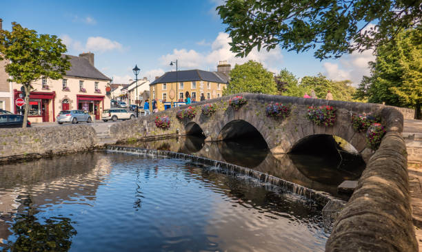 IndicatedFairy fort / earthen ringfort · 1151 yd
 CastleCastle, ringwork · 1.2 mi
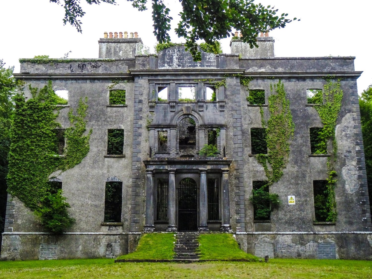 Enclosure in An Goirtín MórEnclosure · 1.2 mi
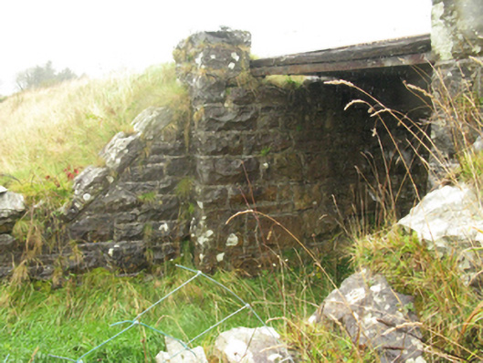 bridgebridge · 1.7 mi
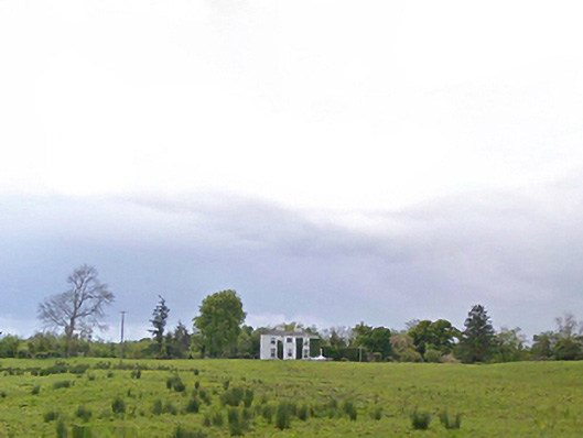 Cloonboy Housefarm house · 1.9 mi
 Bawn in KnockaunakillBawn · 2.4 mi
 Carrowbeg WoodWood · 3.1 mi
 Kiltimagh MuseumMuseum · 4.6 mi
 I'll Send You The FareMemorial · 4.6 mi
 Land of the GiantsHeritage attraction · 5.5 mi
 Geoffrey's WoodForest · 7.6 mi
 East Mayo Brigade MonumentMemorial · 9.4 mi