What is recorded here
In pasture, encompassing a low rise bordering a lowlying area of wet ground. To NE ground rises to a N–S ridge on which Brees Castle (MA091-010----) is prominently sited c. 300m to SE. A farmstead lies immediately to W–NW. Not indicated on the 1838 OS 6-inch map; hachured on the 1920 edition, with ‘Children’s Burial Ground’ indicated at S. First recorded by Knox (1911-12, 149-153). This enigmatic earthwork may be a form of ringwork or earthwork castle, perhaps marking the site of an Anglo-Norman settlement prior to the construction of the masonry castle (MA091-010----) on the nearby hill to SE. A D-shaped area (81.5m NE–SW; c. 41.5m NW–SE) defined on the curving side SW–ENE by a scarp with an external fosse, and bordered on the straight side to SE by a field wall on a NE–SW axis. At S–W the fosse appears to have been re-cut to serve as a field drain. At NW–N the scarp is reduced to a slight rise, and the fosse is evident as a shallow depression, allowing access from the modern farmyard to NW into the interior of the enclosure. A septic tank is dug into the fosse at NW. The scarp and fosse are again well-defined N–NE but the fosse becomes increasing indistinct NE−ENE. Within the NE end of the enclosure, there is a sub-rectangular platform (16.5m NNW–SSE; c. 10.6m ENE–WSW), which what appears to be have been created by scarping a natural rise. The NNW side of the platform merges with the ringwork scarp and is topped with a raised stony rim or bank (Wth 3.4m; int. H 0.25m; ext. H 1.9m). On the ENE side the platform scarp (H 1.2; Wth slope 3.3m) is well-defined and retains a hint of a raised rim at its N end. On the SSE side the scarp merges with a broadly slumped slope which appears natural. The WSW side of the platform has been quarried away. This platform may have served a motte-like function within the ringwork. In the S half of the ringwork interior, there is an oval platform (16m NE–SW; 26m NW–SE) which was used as a children’s burial ground (MA091-008003-). The straight NE−SW field boundary has obliterated the form of the original enclosing element on the E side of the enclosure, but it is clear that the expanse of wet ground here would have offered a measure of defence.
In pasture, encompassing a low rise bordering a lowlying area of wet ground. To NE ground rises to a N–S ridge on which Brees Castle (MA091-010----) is prominently sited c. 300m to SE. A farmstead lies immediately to W–NW. Not indicated on the 1838 OS 6-inch map; hachured on the 1920 edition, with ‘Children’s Burial Ground’ indicated at S. First recorded by Knox (1911-12, 149-153). This enigmatic earthwork may be…
From the National Monuments Service (Archaeological Survey of Ireland) record MA091-008001
The monument record does not grant public access. Check the route and ask the landowner before entering private land.
- What survives
- Recorded monument
Places near here
CastleCastle, Anglo-Norman masonry castle · 400 ydEnclosure in BreesEnclosure · 529 yd Cloonboy HouseFarm house · 1.1 mibridge1.6 mihandball alley1.7 miSaint Coleman's Catholic ChurchChurch/chapel · 2.2 miMayo Church (Mayo)Church/chapel · 2.2 miRound Tower3.1 miCarrowbeg WoodWood · 4.1 miLand of the GiantsHeritage attraction · 5.2 miSycamore9.7 miCloonagashel CastleCastle · 9.8 mi
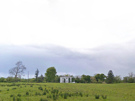 Cloonboy HouseFarm house · 1.1 mi
 bridge1.6 mi
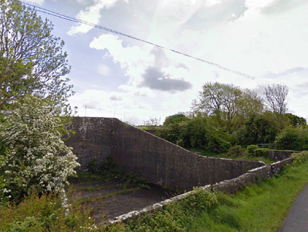 handball alley1.7 mi
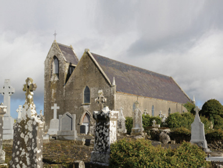 Saint Coleman's Catholic ChurchChurch/chapel · 2.2 mi
 Mayo Church (Mayo)Church/chapel · 2.2 mi
 Round Tower3.1 miCarrowbeg WoodWood · 4.1 miLand of the GiantsHeritage attraction · 5.2 mi
 Sycamore9.7 mi
 Cloonagashel CastleCastle · 9.8 mi
Pictures: National Inventory of Architectural Heritage; colwynboy, Geograph · CC BY-SA 2.0; JohnArmagh, Wikimedia Commons · CC BY-SA 3.0; Christian Pirkl, Wikimedia Commons · CC BY-SA 3.0 at; Mike Searle, Wikimedia Commons · CC BY-SA 2.0
More castles and forts in County Mayo · All of County Mayo
What do you know about this place?