What is recorded here
A building, possibly a church, is shown roughly in the W half of Facefield townland on a map dated 1720 (NLI Ms 2707). Its exact location has not been established.
Compiled by: Jane O’Shaughnessy
Date of upload: 9 February 2022
The monument record does not grant public access. Check the route and ask the landowner before entering private land.
- What survives
- Recorded monument
Places near here
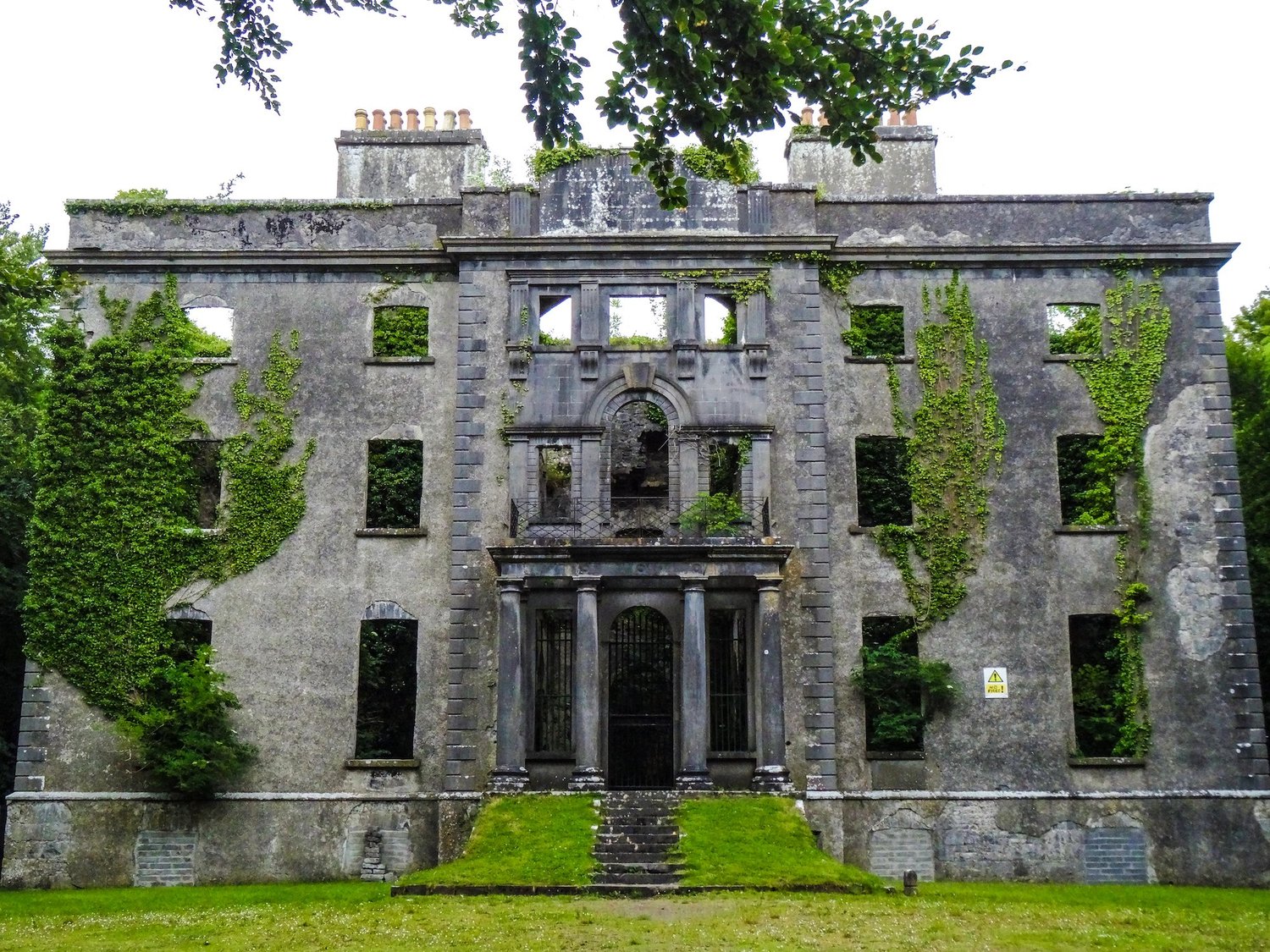 Enclosure in An Goirtín MórEnclosure · 839 yd
 Enclosure in BreesEnclosure · 1039 yd
 CastleCastle, ringwork · 1403 yd
 Cloonboy Housefarm house · 1704 yd
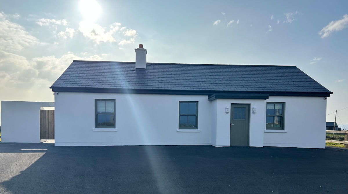 Bawn in KnockaunakillBawn · 1.5 mi
 bridgebridge · 2.0 mi
 Carrowbeg WoodWood · 4.0 mi
 Land of the GiantsHeritage attraction · 4.7 mi
 Kiltimagh MuseumMuseum · 5.5 mi
 Geoffrey's WoodForest · 6.7 mi
 Cow IslandIslet · 10 mi
 Crane IslandIslet · 11 mi