What is recorded here
On a WNW-facing slope in pasture overlooking Lough Ree. Depicted as a large circular enclosure with the designation 'Fort' on the 1837 ed. of the OS 6-inch map. A raised circular area (diam. c. 62m) enclosed by the grass-covered foundations of a massive stone wall (Wth 8.1m) that is largely overlain by later field boundaries. There is no trace of a fosse and the original entrance is not recognisable. The monument is densely overgrown with vegetation rendering inspection difficult. However, the 1914 ed. of the map shows an E-W field boundary bisecting the monument. A second N-S field boundary is also shown dividing the N half of the site into roughly equal portions. O'Donovan
Date of upload: 23 November 2011
On a WNW-facing slope in pasture overlooking Lough Ree. Depicted as a large circular enclosure with the designation 'Fort' on the 1837 ed. of the OS 6-inch map. A raised circular area (diam. c. 62m) enclosed by the grass-covered foundations of a massive stone wall (Wth 8.1m) that is largely overlain by later field boundaries. There is no trace of a fosse and the original entrance is not recognisable. The monument…
From the National Monuments Service (Archaeological Survey of Ireland) record LF021-003
This remains an important historical record, but the official description says the monument is no longer visible or has been destroyed. The monument record does not grant public access. Check the route and ask the landowner before entering private land.
- What survives
- No visible remains or recorded as destroyed
Places near here
Photo credits
- National Inventory of Architectural Heritage
- Kieran Campbell, Geograph · CC BY-SA 2.0
- Mike Searle, Geograph · CC BY-SA 2.0
- AndreasDelp, Wikimedia Commons · CC BY-SA 4.0
St. Martins WellHoly well · 1058 ydLittle IslandIslet · 1301 ydIndicatedFairy fort / stone ringfort · 1445 yd water pump1695 ydwater pump1.5 miRathcline CastleBawn · 2.0 miRathcline CastleHouse, fortified house · 2.1 miWhite Sand WoodWood · 2.5 miInchcleraunIsland · 2.6 miCruit BayBay · 2.7 miWild birdsVisitor information · 3.1 miCruit PointHeadland · 3.1 mi
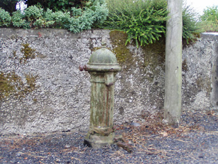 water pump1695 yd
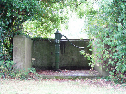 water pump1.5 mi
 Rathcline CastleBawn · 2.0 mi
 Rathcline CastleHouse, fortified house · 2.1 miWhite Sand WoodWood · 2.5 mi
 InchcleraunIsland · 2.6 miCruit BayBay · 2.7 miWild birdsVisitor information · 3.1 miCruit PointHeadland · 3.1 mi
More archaeology and monuments in County Longford · All of County Longford
What do you know about this place?