What is recorded here
Raised circular area (int. diam. c. 45m) enclosed by a substantial earthen bank. An earlier report (OPW 1970) noted a modern trench at the external foot of the bank but no evidence of a fosse. Original entrance not recognisable. Internal area is divided into two roughly equal portions by a field boundary aligned NE-SW.
From the National Monuments Service (Archaeological Survey of Ireland) record CV037-004
The monument record does not grant public access. Check the route and ask the landowner before entering private land.
- What survives
- Recorded monument
Places near here
DrumbrucklisMountain / peak · 1458 ydAghakilmore LowerMountain / peak · 1.1 mi filling pump/station2.0 miSean Briody Car Sales & RepairsSchool · 2.1 miDeer ParkWood · 2.5 miIndicatedCastle, unclassified · 2.8 miMoynagh Upper ForestForest · 3.0 miCrane IslandIslet · 3.5 miGull IslandIslet · 3.5 miPortal tomb in CarrickacroyPortal tomb · 3.7 miPortal tomb in DuffcastlePortal tomb · 4.7 miRoss CastleCastle, tower house · 5.6 mi
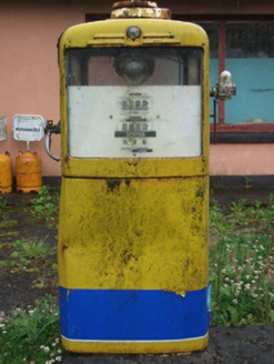 filling pump/station2.0 mi
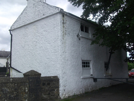 Sean Briody Car Sales & RepairsSchool · 2.1 miDeer ParkWood · 2.5 miIndicatedCastle, unclassified · 2.8 miMoynagh Upper ForestForest · 3.0 miCrane IslandIslet · 3.5 miGull IslandIslet · 3.5 mi
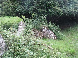 Portal tomb in CarrickacroyPortal tomb · 3.7 mi
 Portal tomb in DuffcastlePortal tomb · 4.7 mi
 Ross CastleCastle, tower house · 5.6 mi
Pictures: National Inventory of Architectural Heritage; Wanfried-Dublin, Wikimedia Commons · CC BY-SA 4.0; Mike Searle, Geograph · CC BY-SA 2.0
More archaeology and monuments in County Cavan · All of County Cavan
What do you know about this place?