
Places near here
Photo credits
- National Inventory of Architectural Heritage
- Dedublinfan, Wikimedia Commons
- Kmcnamee, Wikimedia Commons · CC BY-SA 4.0
- Mike Searle, Geograph · CC BY-SA 2.0
- Willow, Wikimedia Commons · CC BY 2.5
- Colin Park, Geograph · CC BY-SA 2.0
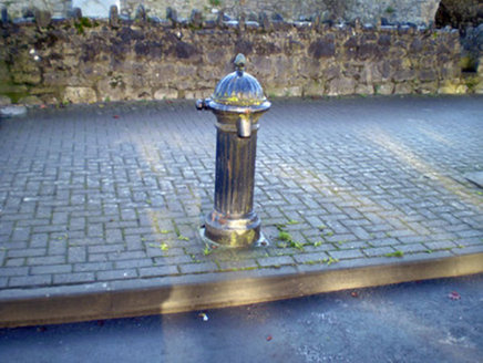 water pump710 yd
Explorer Tom Abbeylands water pump hides a treasure that is definitely just a biscuit tin from 1954. It’s got an acorn finial, so it…
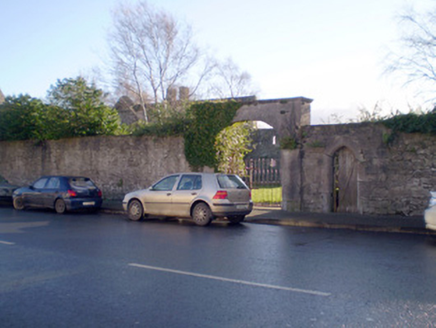 gates/railings/walls727 yd
Explorer Tom Gates in Abbeylands have a prophecy that they’ll open to reveal a dragon, but we’re all waiting for a bus instead. The…
 Mick Neville ParkGAA ground · 843 yd
Explorer Tom Mick Neville Park announces itself at the gate, then lets Rathkeale's pitches do the arguing. Limerick's county board…
RathkealeHistoric town · 1104 ydExplorer Tom Rathkeale in County Limerick would explain the 1800s to a teenager as 'before Wi-Fi and before the ringfort got…
Grave YardGraveyard · 1365 ydExplorer Tom Graveyard in Enniscoush is having a massive feud with the next village over something daft like fence height. The gulls…
 St. Mary's Sean Finns, Rathkeale GAA pitchGAA ground · 1.1 mi
 Castle MatrixCastle, tower house · 1.3 mi
Explorer Tom Castle Matrix brags constantly about surviving a massive storm that shook the very foundations of the earth. It claims…
TobernablahySpring · 2.2 miExplorer Tom Tobernablahy means 'The Well Where My Uncle Fell Off His Horse' if you ask me, which is probably wrong. But it fits the…
Flat cemetery in CroaghFlat cemetery · 2.5 miExplorer Tom Flat cemetery in Croagh smells like ancient ash and pure mystery, according to my very scientific nose. A pipeline dug…
 European ash2.6 mi
Explorer Tom European ash makes a creaking sound at night that sounds exactly like someone judging your life choices. It’s just a…
 CastleCastle, tower house · 2.7 mi
Explorer Tom Ballyallinan Castle would cope fine on a reality show by doing absolutely nothing for hours. It’s five floors of arched…
 KnockfeerinaMountain / peak · 5.9 mi
Explorer Tom Knockfeerina thinks the road leading to it is too fancy for a humble peak, so it pretends not to be there. It has a…
More archaeology and monuments in County Limerick · All of County Limerick

What do you know about this place?Tap to add a comment or ask a question