
What is recorded here
Located on a small hill. This is depicted as a circular wood only on the 1907 edition of the OS 6-inch map. it is shown as attached to an E-W ornamental wood c. 60m to the N that formed part of the ornamental boundary of the demesne of Mullaghmore House, which is in full view c. 200m to the SW. Portion of the perimeter is incorporated into a field bank (Chord 60m N-S) NNE-SSE. Although it is not represented on the 1834 edition of the OS 6-inch map it may be a tree-ring.
The above description is derived from the published 'Archaeological Inventory of County Monaghan' (Dublin: Stationery Office, 1986). In certain instances the entries have been revised and updated in the light of recent research.
Date of revision: 29 August 2017
A local fairy fort (ringfort/rath); wider significance not recorded.
The monument record does not grant public access. Check the route and ask the landowner before entering private land.
- What survives
- Recorded monument
Places near here
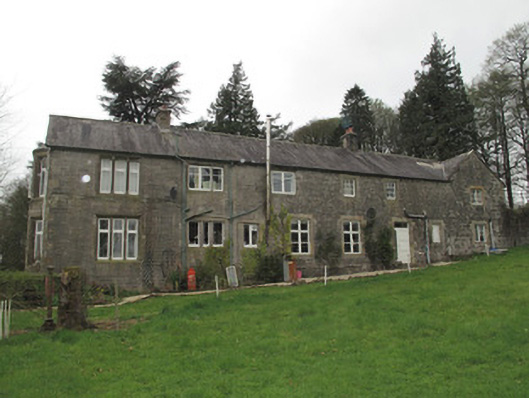 Mullaghmore Houseoutbuilding · 252 yd
 Western RedcedarWestern Redcedar · 290 yd
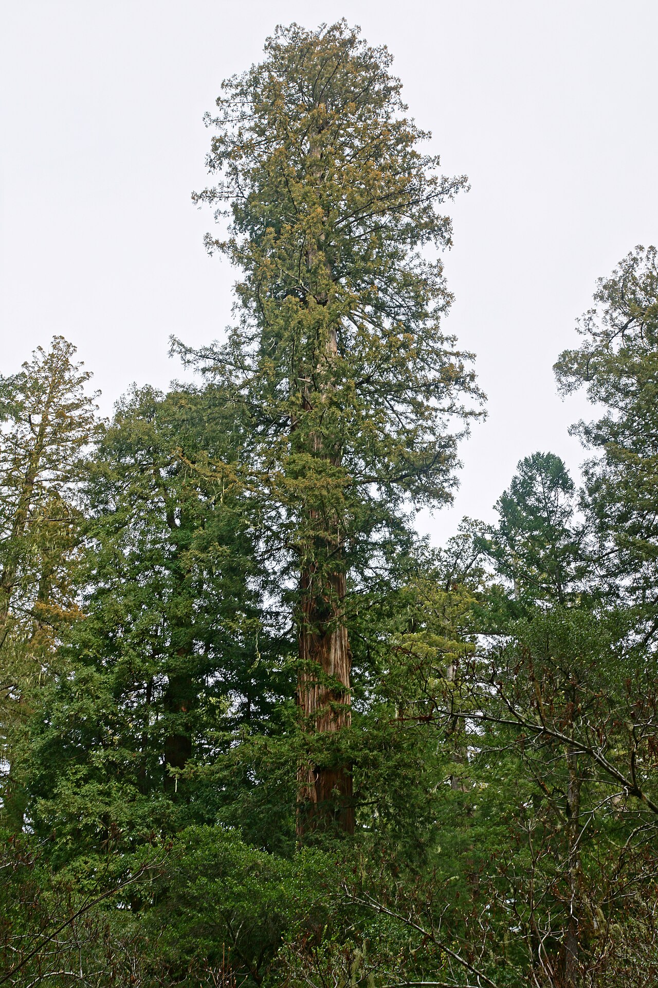 Coast RedwoodCoast Redwood · 293 yd
 IndicatedCrannog · 523 yd
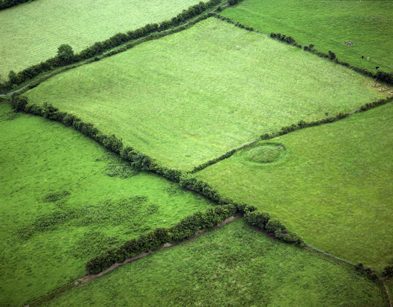 Fairy fort / earthen ringfort in Aghaboy NorthFairy fort / earthen ringfort · 957 yd
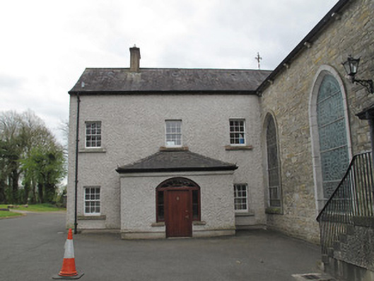 Saint Mary's Catholic Churchpresbytery/parochial/curate's house · 1522 yd
 Rough HillMountain / peak · 3.4 mi
 Sliabh Beagh Hotel and Tourism CentreVisitor information · 3.6 mi
 Monaghan County MuseumMuseum · 4.2 mi
 Rossmore MonumentMemorial · 4.3 mi
 Bawn in Roosky (monaghan By., Monaghan Par.)Bawn · 4.3 mi
 Banba GiantHeritage attraction · 4.4 mi
Other information
Photo: Credit not shown in the picture search · Rights wording not checked; contact us if this picture should be removed