What is recorded here
In grassland on SW-facing slope of rising ground in upland region with good views to S and W with higher ground to N and E. Circular area (int. diam. 23m N-S; 22m E-W) enclosed by an earth and stone bank (top Wth 1.2m; base Wth 3m; int. H 1m; ext. H 1m) reduced to a scarp from E through S to W with remains of an outer fosse (base Wth 1.5m; top Wth 2.5m; ext. D 0.3m) only visible on the upslope at N. No visible remains of bank or fosse on the downslope. Interior is well preserved and tree-lined bank has suffered damage from cattle poaching especially on the upslope at N. Cattle gap (Wth 2m) in bank at N, no entrance feature visible, field boundary intersects outer face of bank at NE.
Compiled by: Jean Farrelly
Date of upload: 26 August 2011
The monument record does not grant public access. Check the route and ask the landowner before entering private land.
- What survives
- Recorded monument
Places near here
 Site of CastleCastle, unclassified · 686 yd
 EnclosureEnclosure, large enclosure · 1093 yd
 Enclosure in Knockanglass (killenaule Par.)Enclosure · 1683 yd
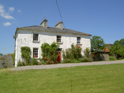 Knockanglass Househouse · 1.1 mi
 Graystown Church (in ruins)Church · 1.2 mi
 Castle (in ruins)Castle, tower house · 1.4 mi
 Noan WoodWood · 1.9 mi
 Taylor's WoodWood · 2.5 mi
 Slieveardagh Heritage CentreVisitor information · 2.5 mi
 Ballinure HillMountain / peak · 3.0 mi
 Eagle HillMountain / peak · 3.6 mi
 Gobban Saer's GraveArchaeological place · 3.8 mi