What is recorded here
Situated on low-lying pasture, on the edge of the floodplain of the River Shannon. An enclosure (WM029-032----) lies close to SE. Monument described in 1973 as a large, roughly circular-shaped, flat-topped rock which lies on the E bank of the River Shannon. According to English (1945, 2), this was an inauguration place of the local O’Breen [O'Bryan/O'Brien] chieftains. The monument is also known locally as O’Brien’s Rock.
Situated on low-lying pasture, on the edge of the floodplain of the River Shannon. An enclosure (WM029-032----) lies close to SE. Monument described in 1973 as a large, roughly circular-shaped, flat-topped rock which lies on the E bank of the River Shannon. According to English (1945, 2), this was an inauguration place of the local O’Breen [O'Bryan/O'Brien] chieftains. The monument is also known locally as…
From the National Monuments Service (Archaeological Survey of Ireland) record WM029-032001
The monument record does not grant public access. Check the route and ask the landowner before entering private land.
- What survives
- Recorded monument
Places near here
Photo credits
- National Inventory of Architectural Heritage
- Graham Horn, Geograph · CC BY-SA 2.0
- Pat Byrne, Geograph · Creative Commons Attribution-ShareAlike 2.0
- Nigel Thompson, Geograph · CC BY-SA 2.0
- Sgbrito at Portuguese Wikipedia, Wikimedia Commons · Public domain
- Christophe Krief, Wikimedia Commons · CC BY-SA 4.0
- Mike Searle, Geograph · CC BY-SA 2.0
- Peter Gerken, Wikimedia Commons · CC BY-SA 2.0
- Engraving by Johannes Tangena. Leyden: Johannes Tangena, Print en Bockverkooper 1691., Wikimedia Commons · Public domain
- Willow, Wikimedia Commons · CC BY 2.5
- N Chadwick, Geograph · Creative Commons Attribution-ShareAlike 2.0
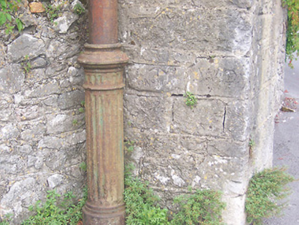 vent pipe1.6 mi
 graveyard/cemetery1.6 mi
 CastleCastle, unclassified · 1.7 mi
 WeirWeir, fish · 1.7 mi
 CastleCastle, Anglo-Norman masonry castle · 1.8 mi
 Athlone CastleMuseum · 1.8 mi
 Athlone CastleVisitor information · 1.8 mi
 Historic Town - Athlone Castle & Church of St Peter and PaulVisitor information · 1.8 mi
 Siege of AthloneSiege · 2.5 mi
 Siege of AthloneSiege · 2.5 mi
 European ash4.4 mi
 Graveyard in ClonmacnoiseGraveyard · 5.5 mi
More archaeology and monuments in County Westmeath · All of County Westmeath
What do you know about this place?