What is recorded here
On level ground, at foot of wooded S-facing slope, c. 100m S of Convamore House (14880). Circular chamber and passage covered with oval grass-covered mound (c. 10m E-W; 4.9m N-S; max. ext. H 0.8m). Random-rubble retaining stone wall, on E side of mound, with central brick leading to stone-lined passage (3.4m E-W; Wth 1.37m) with brick-vaulted roof. Rebates for door at W end of passage; inside is circular sunken chamber (diam. > 2m) covered with domed roof (H c. 3m), chamber infilled to c. 2m below passage level. Forecourt area, at mouth of passage, hollowed out.
On level ground, at foot of wooded S-facing slope, c. 100m S of Convamore House (14880). Circular chamber and passage covered with oval grass-covered mound (c. 10m E-W; 4.9m N-S; max. ext. H 0.8m). Random-rubble retaining stone wall, on E side of mound, with central brick leading to stone-lined passage (3.4m E-W; Wth 1.37m) with brick-vaulted roof. Rebates for door at W end of passage; inside is circular sunken…
From the National Monuments Service (Archaeological Survey of Ireland) record CO034-034002
The monument record does not grant public access. Check the route and ask the landowner before entering private land.
- What survives
- Recorded monument
Places near here
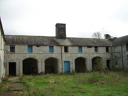 ConvamoreFarmyard complex · 128 yd
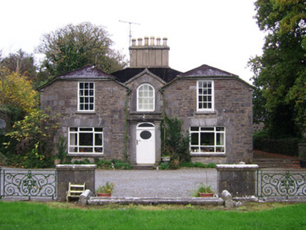 ConvamoreSteward's house · 183 ydBlackwater (Avondhu) WayWalking route · 360 ydEnclosure in ConvaEnclosure · 698 ydPriest's WoodForest · 1065 ydJohnson's WoodForest · 1596 yd
 Ballyhooly CastleCastle · 1610 ydKnocknaskagh North TopMountain / peak · 2.0 miLiam BurkeMemorial · 2.4 miSeefinMountain / peak · 3.7 mi
 Glanworth CastleCastle · 4.1 mi
 LabbacalleeWedge tomb · 4.2 mi
Pictures: National Inventory of Architectural Heritage; Jonathan Thacker, Geograph · CC BY-SA 2.0; The Speckled Bird, Wikimedia Commons · CC BY-SA 4.0; VisionsofthePast, Wikimedia Commons · CC BY-SA 4.0
More archaeology and monuments in County Cork · All of County Cork
What do you know about this place?