What is recorded here
An excavation was carried out in a green-field site, N of the medieval church (TS067-004003-) and graveyard (TS067-004008-), in advance of construction of a government office building (Cummins 2000, 203). A circular hut site, 4m in diameter, was excavated in the NE corner of the field, and no enclosing bank or fosse was uncovered (ibid.). The upper level of the hut had been disturbed by cultivation activity, and there was a high amount of hollows in the interior caused by root/burrowing activity (ibid.). A sherd of post-medieval pottery was found in a context severely disturbed by root/burrowing activity (ibid.). The hut was surrounded by a narrow gully, 0.2-0.5m wide and 0.2m deep, containing no evident post-holes or stake-holes (ibid.). It may have functioned as a bedding trench (ibid.). The entrance in the N was indicated by a backfill of moderately compacted sand within the gully, and a hearth lay close to the centre of the hut (ibid.). The interior of the hut was occupied by overlapping sand layers containing a number of small post-holes and stake-holes (ibid.). They did not indicate any identifiable structures, apart from a possible spit over the hearth (ibid.). There were two shallow pits in the NE corner, and one of these contained a fragment of a jet/lignite bracelet (ibid.).
Compiled by: Jean Farrelly
Date of upload: 16 June 2014
The monument record does not grant public access. Check the route and ask the landowner before entering private land.
- What survives
- Recorded monument
Places near here
 Saint Mary's Church (Tipperary)church/chapel · 88 yd
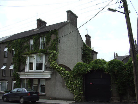 Clanwilliam Househouse · 92 yd
 The Maid of ErinMemorial · 228 yd
 It's a long way to TippereryHeritage attraction · 341 yd
 Site of AbbeyReligious house, Augustinian friars · 457 yd
 Mutton Pie HillCastle, motte · 687 yd
 IndicatedHoly well · 710 yd
 MoatCastle, motte and bailey · 1139 yd
 I.R.A. 3rd. Tipperary Brigade MemorialMemorial · 1483 yd
 The RockViewpoint · 2.6 mi
 European ashEuropean ash · 2.7 mi
 Christ the KingViewpoint · 3.1 mi