What is recorded here
Located towards the top of the E-facing slope of a prominent drumlin. Archaeological testing and excavation (05E1267) identified a possible prehistoric hut-site c. 40m to the SW of rath (LE031-002----). It was completely excavated under the same licence and consisted of a curving gully (Wth 0.36-0.48m; D 0.07-0.22m) enclosing about two thirds of a circle. No artefacts were recovered from it and nor was there evidence of a hearth or an entrance, but a chert scraper was found c. 20m to the E. its exact location is not known. (Read 2008)
Compiled by: Michael Moore
Date of upload: 14 October, 2019
The monument record does not grant public access. Check the route and ask the landowner before entering private land.
- What survives
- Recorded monument
Places near here
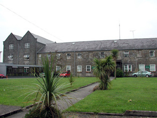 Saint Patrick's Hospitalworkhouse · 965 yd
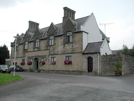 Summerhill Lodgeworkhouse administration block · 1017 yd
 fortsFairy fort / earthen ringfort · 1159 yd
 Fortification in TownparksFortification · 1620 yd
 Moon RiverHeritage attraction · 1682 yd
 CastlecarraCastle, unclassified · 1.3 mi
 PortCastle, unclassified · 1.8 mi
 Hughestown WoodForest · 2.4 mi
 InishnagonIsland · 3.8 mi
 Patrick Gill Memorial Plaque (IRA)Monument · 4.0 mi
 Robert Strawbridge MemorialMemorial · 4.1 mi
 Leabaidh DermotCave · 4.1 mi