
Places near here
Photo credits
- National Inventory of Architectural Heritage
- Trevor Littlewood, Wikimedia Commons · CC BY-SA 2.0
- Malene Thyssen, Wikimedia Commons · CC BY-SA 3.0
- Colin Park, Geograph · CC BY-SA 2.0
- Jonathan Billinger, Wikimedia Commons · CC BY-SA 2.0
- Maker named on the Wikimedia Commons picture page · CC BY-SA 2.5
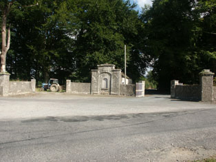 Kilranelagh HouseGate lodge · 1535 yd
Explorer Tom Kilranelagh House in Kilranelagh is locked in a bitter feud with the rain because it keeps getting soggy and moody…
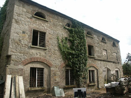 mill (water)1.5 mi
Explorer Tom Mill in Tuckmill Lower is a disused corn mill from the late 18th century that’s still standing tall. It’s relatively…
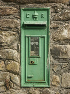 post box1.5 mi
Explorer Tom Post box in Tuckmill Lower was once run by a matchmaker who paired up lonely locals via the post. It’s an Edwardian box…
 Kilranelagh GraveyardGraveyard · 1.6 mi
Explorer Tom Kilranelagh Graveyard would order the biggest portion of chips they could possibly get, extra thick, with gravy that is…
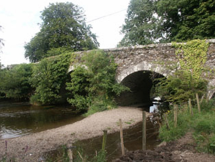 Tuckmill BridgeBridge · 1.6 mi
Explorer Tom Tuckmill Bridge in Tuckmill Lower has a secret talent for juggling stones without dropping them. It’s been doing this…
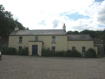 Mount SlaneyFarm house · 1.6 mi
Explorer Tom Mount Slaney farmhouse in Ballyhubbock Lower is well-preserved from the early nineteenth century and is currently…
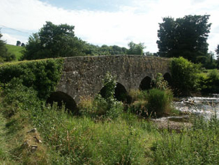 Manger BridgeBridge · 1.6 mi
Explorer Tom Manger Bridge is basically the uncle at a wedding who refuses to move from the corner of the room. It’s been standing…
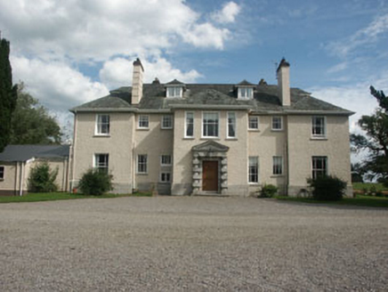 SaundersgroveCountry house · 1.7 mi
Explorer Tom Saundersgrove in Saundersgrove is having its least favourite visitor, which is definitely the guy who put up the ‘No…
 European Beech4.4 mi
Explorer Tom European Beech in County Wicklow wants 'Resting But Trying' carved on its tombstone because that’s exactly how it looks…
 SlievereaghMountain / peak · 4.7 mi
Explorer Tom Slievereagh in County Wicklow has a long grudge against the weather because it keeps raining on its parade every single…
 SugarloafMountain / peak · 5.4 mi
Explorer Tom Tell someone you climbed Sugarloaf and they may picture the wrong Wicklow mountain entirely. This one stands west of…
 Sessile Oak6.0 mi
Explorer Tom Sessile Oak in County Wicklow holds the unofficial world record for looking the most bored while standing perfectly…
More archaeology and monuments in County Wicklow · All of County Wicklow

What do you know about this place?Tap to add a comment or ask a question