What is recorded here
On a plateau with a small rectangular lake (dims c. 55m E-W; c. 40m N-S) in a hollow to the NW. There is no trace of the hut-site enclosures described in the 1940s (SMR file) as being c. 100m E of the sheepfold (LE004-013----).
Compiled by: Michael Moore
Date of upload: 4 January, 2106
This remains an important historical record, but the official description says the monument is no longer visible or has been destroyed. The monument record does not grant public access. Check the route and ask the landowner before entering private land.
- What survives
- No visible remains or recorded as destroyed
Places near here
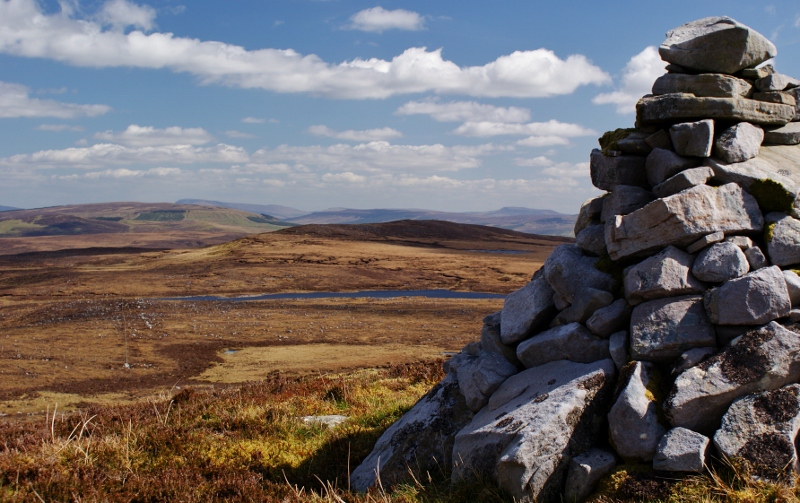 Aganny TopMountain / peak · 217 yd
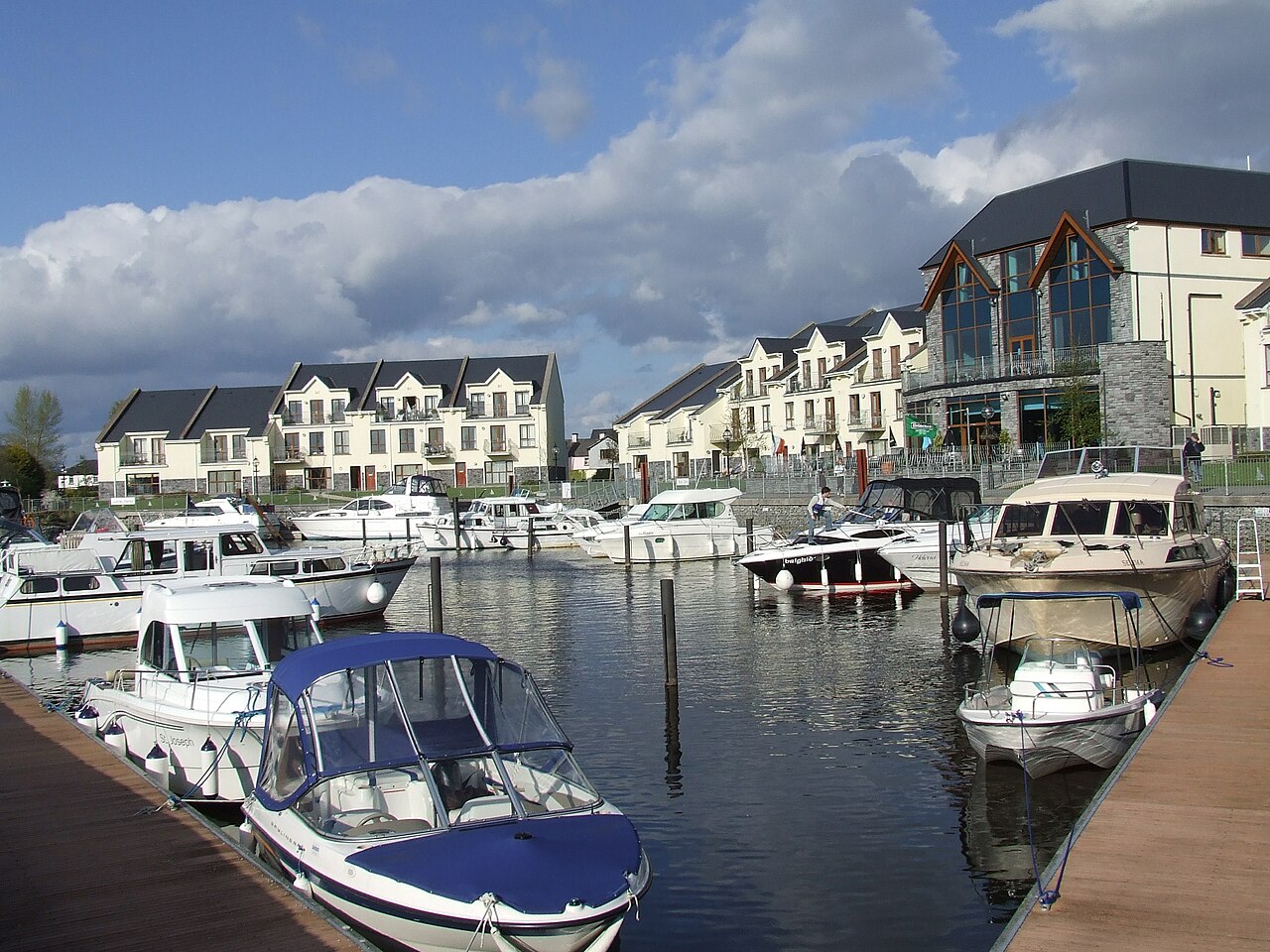 AghalateeveMountain / peak · 1.3 mi
 Peytons Isd.Enclosure · 1.9 mi
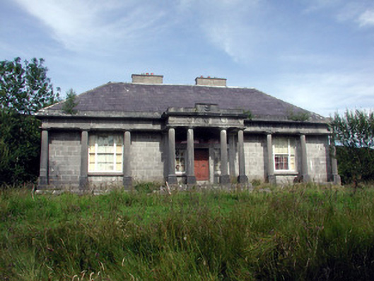 Glenade Housecountry house · 1.9 mi
 Altar (Site of)Mass-rock · 2.2 mi
 Giant's GraveArchaeological place · 3.1 mi
 Church in Drummans (rosclogher By., Aghanlish Ed)Church · 3.1 mi
 InisheherIslet · 3.8 mi
 InishtempleIslet · 4.0 mi
 Longhill WoodForest · 4.0 mi
 Ashisland WoodForest · 4.1 mi
 Rosfriar PointHeadland · 4.2 mi