What is recorded here
On the N-facing slope of a low hill. There is a record from the 1940s of a possible hut-site (diam. c. 6.5m) (SMR file) at the centre of rath (LE002-007001-), which could not be confirmed in the overgrown interior.
Compiled by: Michael Moore
Date of upload: 16 December, 2015
The monument record does not grant public access. Check the route and ask the landowner before entering private land.
- What survives
- Recorded monument
Places near here
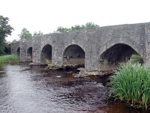 Lennox's Bridgebridge · 530 yd
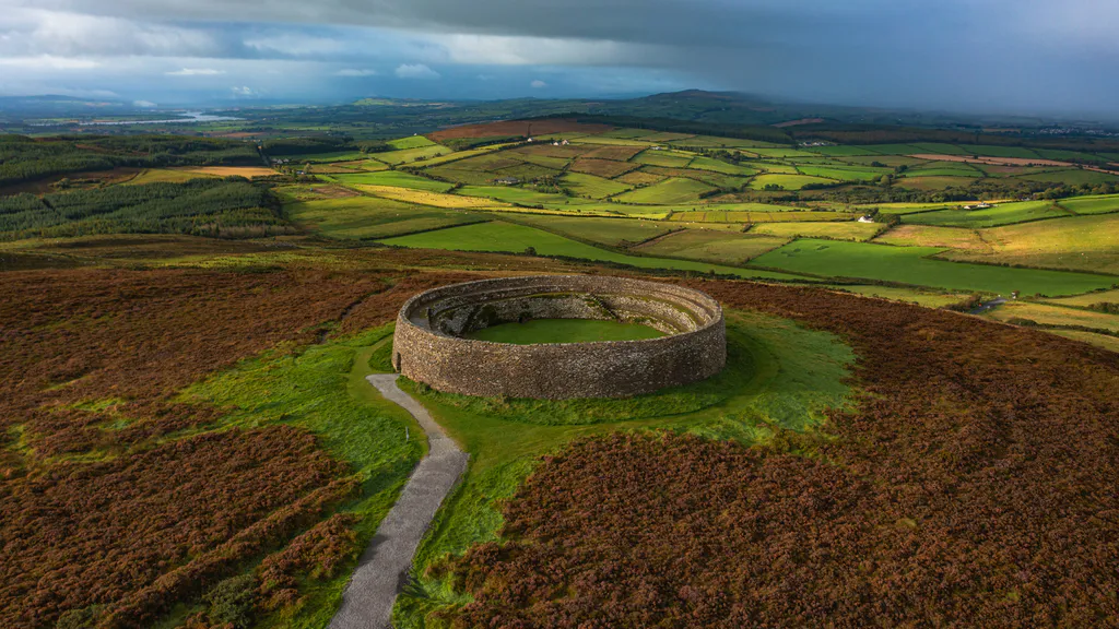 Destroyed Ardfarn Stone RingfortFairy fort / stone ringfort · 959 yd
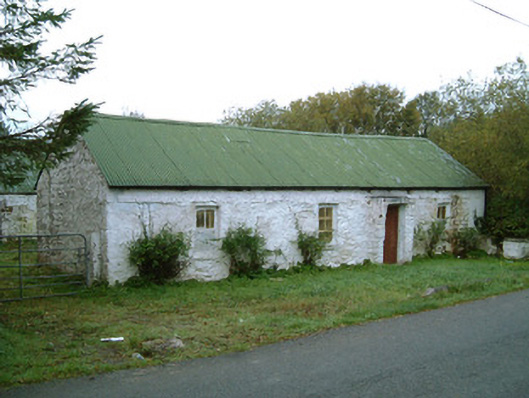 farm housefarm house · 983 yd
 Marshalls WellHoly well · 1270 yd
 BundoranOfficial bathing water · 1.5 mi
 Lareen BayBay · 1.8 mi
 Bundrowes Castle (Site of)Castle, unclassified · 1.9 mi
 CastleCastle, tower house · 2.0 mi
 Wishing ChairHeritage attraction · 2.0 mi
 Fairy BrigesHeritage attraction · 2.0 mi
 Finner Old GraveyardGraveyard · 2.0 mi
 Rosfriar PointHeadland · 2.1 mi