What is recorded here
Situated on the floor of the valley of the River Blackwater, with a NNW-SSE section of the stream c. 5m to the SW. Archaeological testing (04E1060) by D. Bayley (2005) at Testing Area 9 of Contract 5 of the M3 motorway identified archaeological features in a limited area that were completely excavated (E003184) by D. Gallagher in January 2007 (excavations.ie 2007:1297) as Derver 4. It consisted of a circular hut-site (diam. 9.3m) and associated pits. The structure is defined by an arc of post-holes (diam. c. 0.28m; D 0.16m) placed c. 0.3m apart NW-E-SSE but post-holes are absent on the W side, probably because of flooding from the river. There are some internal post-holes but no hearth or entrance is identified. A group of post-holes (dims c. 2.6m x c. 2.4m) just to the E is interpreted as an annexe, but a slot-trench is not associated with either structure. A flint flake was the only artefact recovered but radiocarbon dates derived from hazel charcoal from four of the post-holes varied from 732-372 cal. BC to 392-203 cal. BC, providing a firm date in the Early Iron Age. Other features were some irregularly-shaped pits (dims 0.9m x 0.45m; D 0.18-0.2m to 3.1m x 1.1m; D 0.28m) c. 4m NW of the hut-site and isolated deposits and pits within 10m of it, one of which returned a C14 date of 795-421 cal. BC but another provided a date of 877-1024 cal. AD. There was also some burnt mound material but no trough is identified. (Gallagher and Ginn 2008)
See the attached plans from Gallagher and Ginn (2008, Figs 7, 8)
_1 Site plan;
_2 Hut-site;
Compiled by: Michael Moore
Date of upload: 4 March 2022
The monument record does not grant public access. Check the route and ask the landowner before entering private land.
- What survives
- Recorded monument
Places near here
 FortsCastle, motte and bailey · 696 yd
 Mote of DerverArchaeological place · 716 yd
 IndicatedEnclosure · 1130 yd
 Church in EdenburtChurch · 1257 yd
 Woodpole Fox CovertWood · 1398 yd
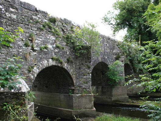 O'Daly's Bridgebridge · 1671 yd
 Balgree MoteCastle, motte · 1.2 mi
 Feegat ForestWood · 1.4 mi
 MaperathMountain / peak · 2.6 mi
 MountainpoleMountain / peak · 3.7 mi
 The Kieran Flanagan WayMemorial · 4.0 mi
 Oliver Plunkett memorialMemorial · 4.0 mi