What is recorded here
No visible fort remains in Pottlebane because men removed the last earthwork in the 1960s. They were not fantasising about a fairy fort, nor were they pretending a field mark was a palace. They grabbed what could be grabbed: soil, leverage, visibility, ownership, convenience. The true chamber is the absence made visible. A missing ring is still a ring. It excludes every false memory that cannot survive the hole.
Located towards the bottom of a SE-facing slope and at the crest of a steep slope down to a small canalised SW-NE stream which is c. 50m to the SE. It is represented as a circular embanked enclosure (ext. diam. c. 50m) on the 1836 edition of the OS 6-inch map where it is described as a ‘fort’ and as a circular hachured feature on the 1912 edition. It was removed in the 1960s (SMR file) but was visible in 1968 as a subcircular area (dims c. 27m E-W; c. 24m N-S) with a portion of bank (Wth of base 3.7m; int. H 0.6m; ext. H 3.4m) surviving NW-NE, and with a possible entrance (Wth of base 2.8m) at ENE. The visible remnant had been removed by 1995 (OSAP).
The above description is derived from the published 'Archaeological Inventory of County Meath' (Dublin: Stationery Office, 1987). In certain instances the entries have been revised and updated in the light of recent research.
Compiled by: Michael Moore
Date of revision: 22 February 2019
The monument record does not grant public access. Check the route and ask the landowner before entering private land.
- What survives
- Recorded monument
Places near here
 Woodpole Fox CovertWood · 818 yd
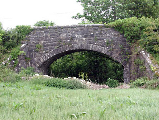 Woodpole Bridgebridge · 1019 yd
 Stone CrossCross, Wayside cross · 1229 yd
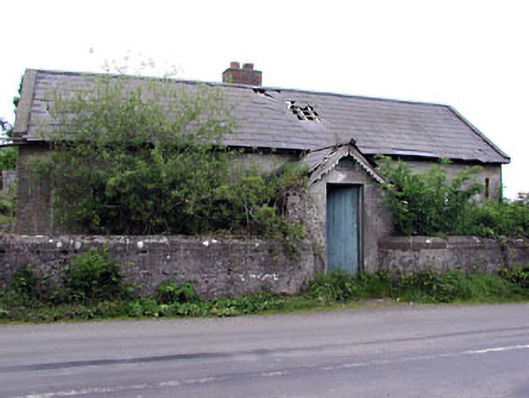 Woodpole National Schoolschool · 1295 yd
 IndicatedFairy fort / earthen ringfort · 1366 yd
 Balgree MoteCastle, motte · 1582 yd
 Ballyhist WoodWood · 1.2 mi
 FortsCastle, motte and bailey · 1.2 mi
 MaperathMountain / peak · 2.7 mi
 The Kieran Flanagan WayMemorial · 3.5 mi
 MountainpoleMountain / peak · 3.5 mi
 Great Famine ProjectMemorial · 3.5 mi