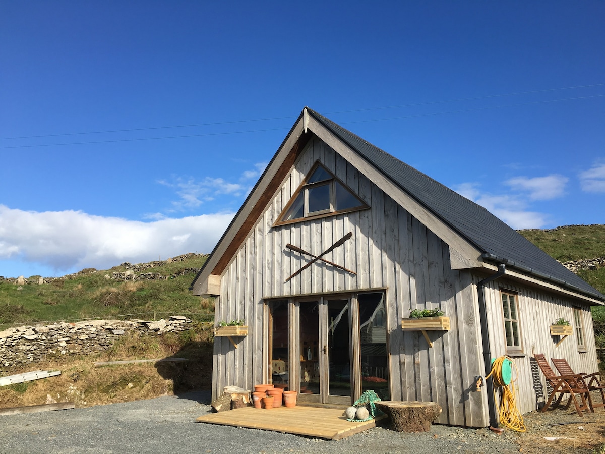
What is recorded here
In rough pasture, heavily overgrown by briars, and sloping down to the NE seashore of Lonehort Harbour on the SE side of Bere Island. The remains of a circular hut site (diam. c. 4m), defined by a stony bank, was recorded in this location (pers. comm. J. Sheehan). However, no trace of a hut site could be found here in 2005. The briars may be masking the remains. The hut site is not visible at ground level.
The above description is derived from 'The Archaeological Inventory of County Cork. Volume 5' (Dublin: Stationery Office, 2009).
Date of upload: 22 December 2009
The monument record does not grant public access. Check the route and ask the landowner before entering private land.
- What survives
- Recorded monument
Places near here
 Pier/Jetty in Ardaragh EastPier/Jetty · 67 yd
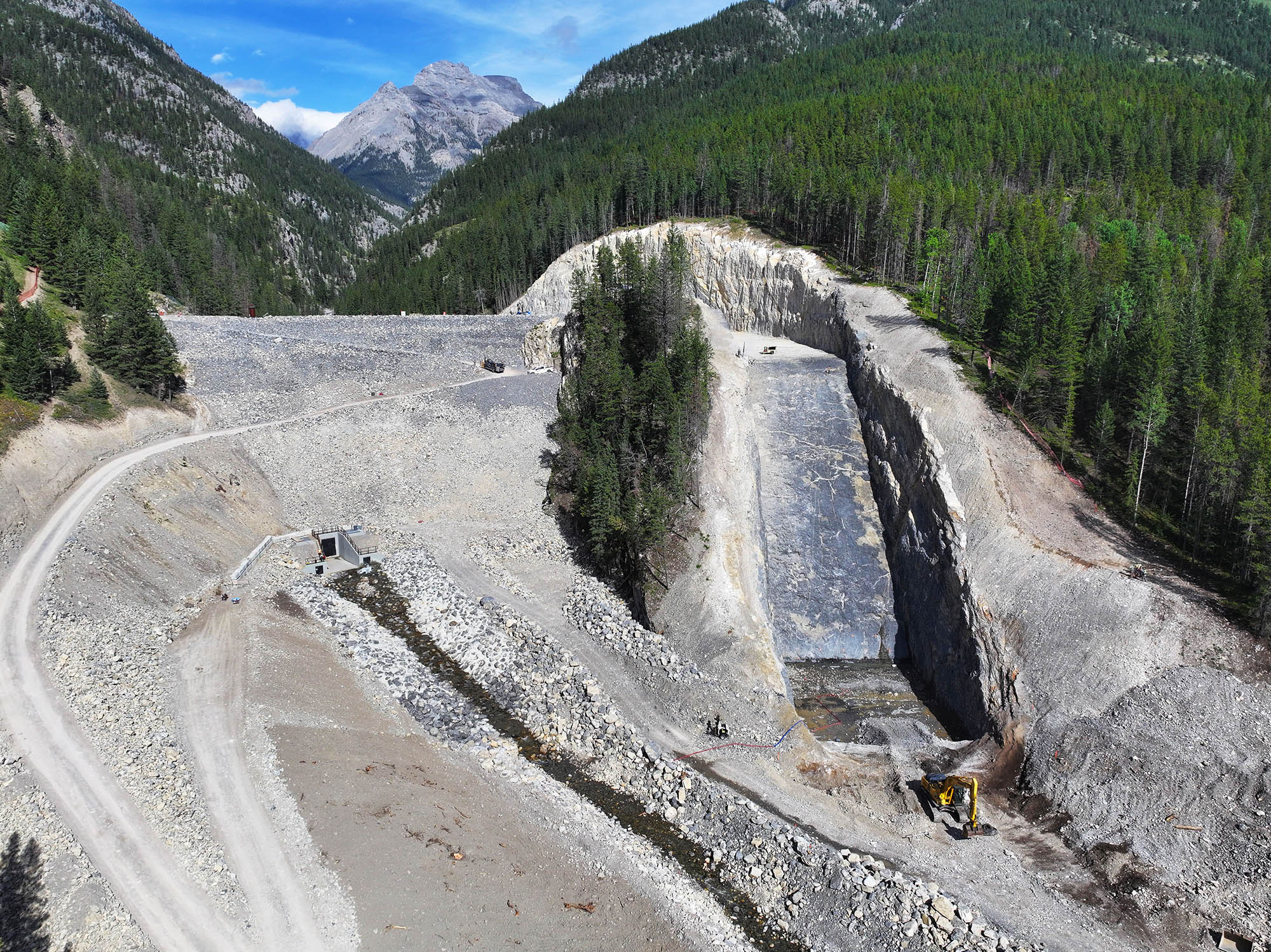 Earthwork in Ardaragh EastEarthwork · 113 yd
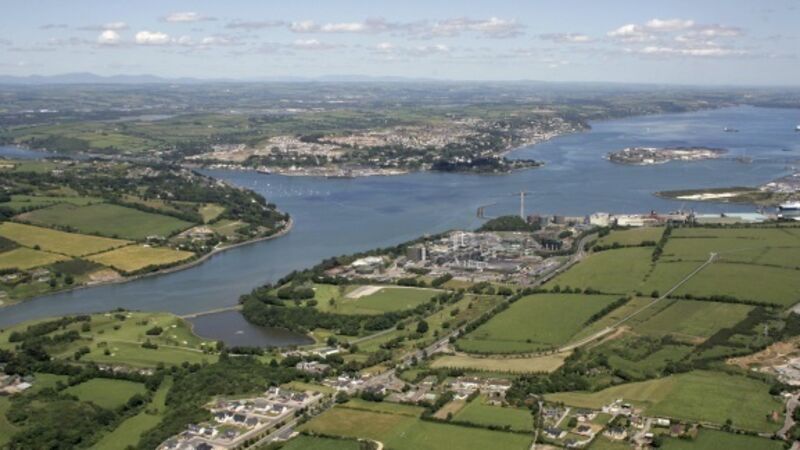 IndicatedBreakwater · 308 yd
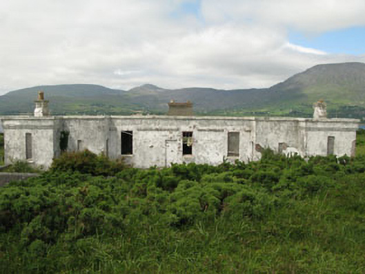 officer's houseofficer's house · 489 yd
 Rerrin LoopWalking route · 496 yd
 Turk IslandIslet · 1733 yd
 TrawnablahaBeach / strand · 2.3 mi
 Bere IslandIsland · 2.5 mi
 Holly HillMountain / peak · 2.7 mi
 Hungry HillMountain / peak · 3.4 mi
 Battle of Bantry BayMajor battlefield · 3.5 mi
 Mare's Tail WaterfallViewpoint · 3.8 mi
Other information
Photo: Credit not shown in the picture search · Rights wording not checked; contact us if this picture should be removed