What is recorded here
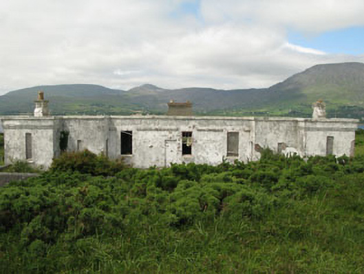
Detached irregular-plan eight-bay single-storey officer's house, built 1908, with recessed central block. Now vacant. Flat roof with rendered chimneystacks. Painted rendered walls with plinth, red-brick moulded impost course and parapet. Square-headed and camber-headed openings with two-over-two timber sliding sash windows, red brick block-and-start surrounds and concrete sills. Square-headed door openings, bricked off to central bock, with timber battened doors to flanking blocks and red brick block-and-start surrounds. Roughcast rendered walls with piers to front (south).
This building is typical of the officers' houses which were built close to batteries and redoubts on Bere Island. It is very distinctive when compared with the vernacular-style dwellings traditionally associated with the area. Bere Island was recognized as being of great strategic importance following an attempted French invasion in 1796. The British built four Martello Towers and a signal tower on the island, as part of a chain of defence along the coast, in anticipation of any further attempts. In 1898 the east end of the island was compulsory purchased by the War Department and fortifications and were built to protect British Dreadnoughts when they were in port. Accommodation for officers and men, along with store houses and other ancillary buildings were also constructed at this time. Additional works were undertaken in the first part of the twentieth century. Under the terms of the Anglo-Irish Treaty in 1921, the deep water port at Bere Island, along with those at Cobh and Lough Swilly remained in British control until 1938.
This does not grant access. Most recorded buildings are privately owned; view them only from public ground unless the owner allows entry.
Places near here
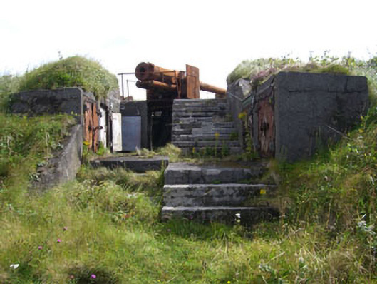 batterybattery · 164 yd
 Earthwork in Ardaragh EastEarthwork · 381 yd
 Hut site in Ardaragh EastHut site · 489 yd
 Pier/Jetty in Ardaragh EastPier/Jetty · 548 yd
 Rerrin LoopWalking route · 825 yd
 Turk IslandIslet · 1.1 mi
 TrawnablahaBeach / strand · 2.3 mi
 Loughure IslandIslet · 2.5 mi
 Holly HillMountain / peak · 2.5 mi
 Hungry HillMountain / peak · 3.1 mi
 Battle of Bantry BayMajor battlefield · 3.3 mi
 Mare's Tail WaterfallViewpoint · 3.5 mi
Other information
Photo: National Inventory of Architectural Heritage · Website use allowed for educational or private purposes with source credit