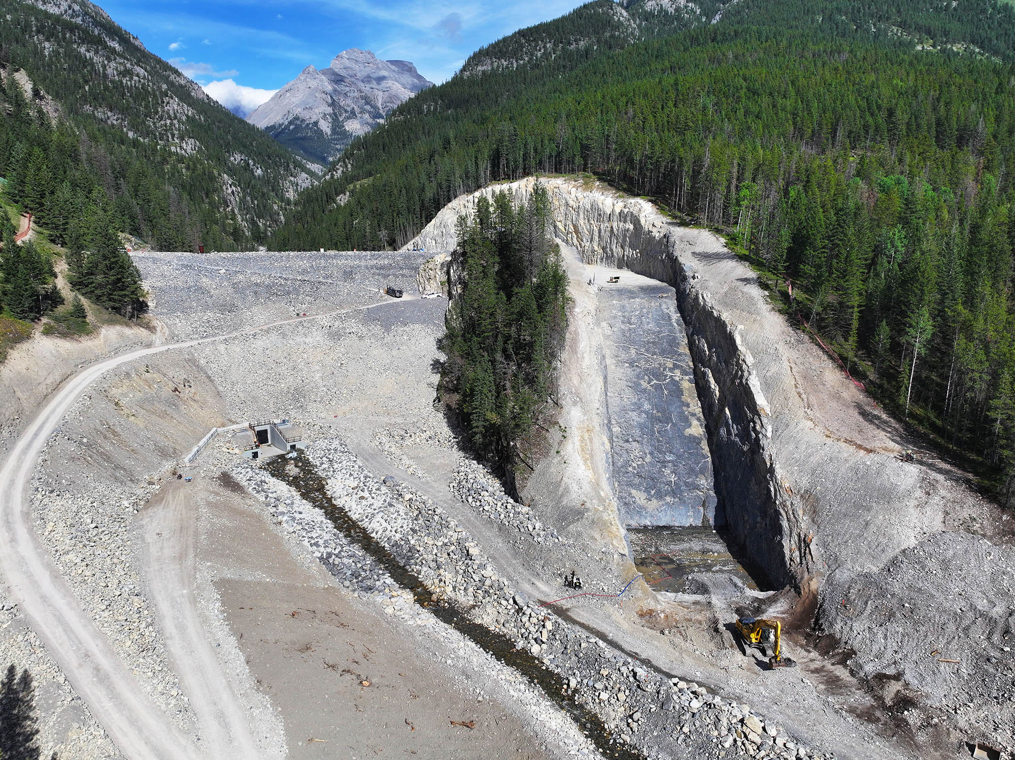
What is recorded here
In rough grazing, on a SW-facing slope, overlooking Lonehort Harbour on the SE side of Bere Island. The intermittent remains of a possible earthwork (L c. 170m; Wth 2-2.5m) extends upslope to the NE from the shore of Lonehort Harbour and then curves gently to the SE. It is defined by a stone field boundary (T 0.6m; H 1-1.4m) on its SE side and by traces of an eroded bank (Wth 1-1.5m; H 0.6m), with several large boulders occurring at intervals, on its NW side. This possible earthwork may be associated with the adjacent jetty (CO116-041001-) and Viking naust (CO116-041002-).
The above description is derived from 'The Archaeological Inventory of County Cork. Volume 5' (Dublin: Stationery Office, 2009).
Date of upload: 22 December 2009
The monument record does not grant public access. Check the route and ask the landowner before entering private land.
- What survives
- Recorded monument
Places near here
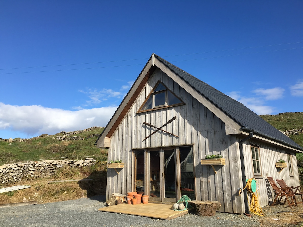 Hut site in Ardaragh EastHut site · 113 yd
 Pier/Jetty in Ardaragh EastPier/Jetty · 166 yd
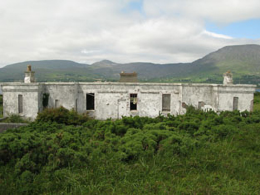 officer's houseofficer's house · 381 yd
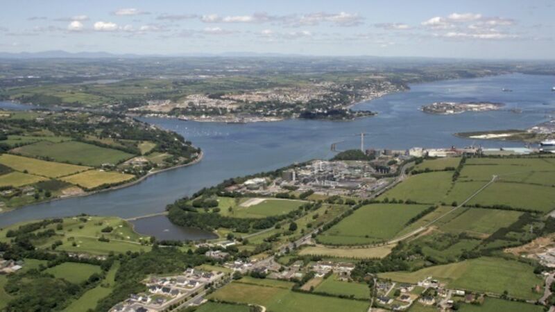 IndicatedBreakwater · 397 yd
 Rerrin LoopWalking route · 524 yd
 Turk IslandIslet · 1742 yd
 TrawnablahaBeach / strand · 2.3 mi
 Bere IslandIsland · 2.5 mi
 Holly HillMountain / peak · 2.6 mi
 Hungry HillMountain / peak · 3.3 mi
 Battle of Bantry BayMajor battlefield · 3.4 mi
 Mare's Tail WaterfallViewpoint · 3.8 mi
Other information
Photo: Credit not shown in the picture search · Rights wording not checked; contact us if this picture should be removed