What is recorded here
Lisrananoge/Lios Ráth na nÓg: Circular univallate rath KE045-037---- is located on a fairly steep SE facing slope overlooking the valley of the Emlagh river.
The N part of the interior appears to be slightly raised. Three depressions of unknown origin and a circular hut-site are located on this platform. The hut measures 4.3m N-S x 5m E-W internally and the wall is reduced to a bank of earth and stone, 1.5m wide and up to .85m high. The entrance faces NE and consists of a 1.2m wide break in the bank.
The above description is derived from J. Cuppage, ‘Corca Dhuibhne. Dingle Peninsula archaeological survey. Ballyferriter. Oidhreacht Chorca Dhuibhne’ (1986), no. 502. In certain instances the entries have been revised and updated in the light of recent research.
Date of upload: 7 August 2013
The monument record does not grant public access. Check the route and ask the landowner before entering private land.
- What survives
- Recorded monument
Places near here
 Enclosure in An LuachairEnclosure · 231 yd
 Man-made underground passage in An LuachairMan-made underground passage · 994 yd
 KnockbegMountain / peak · 1.1 mi
 EmlaghMountain / peak · 1.8 mi
 Church in Inch East (corkaguiny By.)Church · 2.4 mi
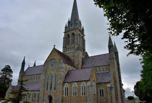 Church in Coill Bhaile Uí FhlaithimhChurch · 2.7 mi
 Glanteenassig Forest ParkForest · 3.1 mi
 Faisr's GraveArchaeological place · 3.9 mi
 Statue of Our LadyHeritage attraction · 3.9 mi
 Jerome ConnorMemorial · 3.9 mi
 Inch BeachBeach / strand · 4.1 mi
 Site of Camp CastleCastle, unclassified · 4.1 mi
Other information
Photo: Credit not shown in the picture search · Rights wording not checked; contact us if this picture should be removed