What is recorded here
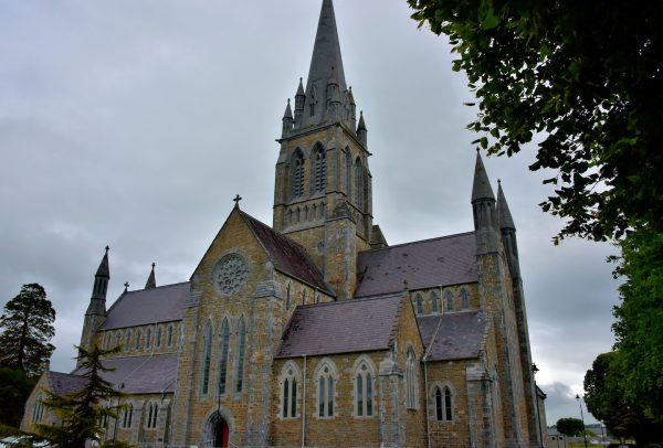
An Reilig or an Cheallúnach: This burial ground was described in the OSNB (Killiney, 42) as 'a circular spot about 3 chains (60m) in diameter, but undefined', with numerous old graves and headstones visible in the interior. It was disused at that time and it is marked only as 'site of' on the 2nd edition of the OS map. Several cist graves were still visible in 1946 (CKFC, 678) and these were described as mounds of stone enclosed by a series of standing stones. The site is now marked only by a scatter of loose stones in a roughly rectangular field. There is a tradition that a church once stood on the site (An Seabhac 1939, 275).
The above description is derived from J. Cuppage, ‘Corca Dhuibhne. Dingle Peninsula archaeological survey. Ballyferriter. Oidhreacht Chorca Dhuibhne’ (1986), no. 899. In certain instances the entries have been revised and updated in the light of recent research.
Date of upload: 7 August 2013
The monument record does not grant public access. Check the route and ask the landowner before entering private land.
- What survives
- Recorded monument
Places near here
 Fulacht fia in Coill Bhaile Uí FhlaithimhFulacht fia · 425 yd
 Man-made underground passage in Coill Bhaile Uí FhlaithimhMan-made underground passage · 1159 yd
 Church in Arraglen (corkaguiny By., Castlegregory Ed),killiney,tullig (corkaguiny By., Castlegregory Ed)Church · 1406 yd
 Church in Duagh (corkaguiny By.)Church · 1705 yd
 CarrigadavMountain / peak · 1728 yd
 CummeenMountain / peak · 1.2 mi
 Glanteenassig Forest ParkForest · 2.3 mi
 Site of CastleCastle, unclassified · 2.8 mi
 IndicatedCastle, tower house · 2.9 mi
 Graveyard in Baile An Chnocáin (tc An Cnoc Glas)Graveyard · 3.2 mi
 Faisr's GraveArchaeological place · 3.6 mi
 Sandy Bay BeachBeach / strand · 4.4 mi
Other information
Photo: Credit not shown in the picture search · Rights wording not checked; contact us if this picture should be removed