
What is recorded here
Kilcumlaghta/Cill Cumnachta: This site lies on fairly level ground about 100m from the SE bank of the Meennascarty river, at the entrance to Gleann Locha. It consists of an oval stone-walled enclosure within which are the foundations of a church and also numerous gravemarkers which relate to the use of the site as a calluragh burial ground (KE036-027001-). A bullaun stone now lies directly outside the enclosure, a probable porthole-slab from a Man-made underground passage lies loose within the site and a fragment of a rotary quernstone was noted at the site in 1945 (CKFC).
Church (KE036-027003-): In the N sector of the interior are the foundations of a rubble-built rectangular church, 3.15m x at least 10.8m internally. The N, S and E walls, defaced externally, are preserved to a maximum height of .46m, but the W wall does not survive. A slab set on edge across the width of the wall, c. midway along the N side, may mark the location of an entrance. The head of a round-headed window, .46m wide, was discovered to the N of the church.
A local tradition, associating the site with the Dominicans, was recorded by An Seabhac (1939, 278) who suggested that the 13th century church of Baliederscolle (987) may have been located here. This latter is included in the Papal Taxation list (1302-7) for the Deanery of Offerba (Cal Docs Ire, V, 295) but its exact location is not now known.
The above description is derived from J. Cuppage, ‘Corca Dhuibhne. Dingle Peninsula archaeological survey. Ballyferriter. Oidhreacht Chorca Dhuibhne’ (1986), no. 834. In certain instances the entries have been revised and updated in the light of recent research.
Date of upload: 8 August 2013
The monument record does not grant public access. Check the route and ask the landowner before entering private land.
- What survives
- Recorded monument
Places near here
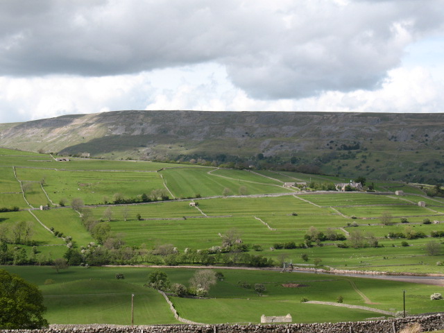 Cultivation ridges in GlanmaneCultivation ridges · 530 yd
 Man-made underground passage in Duagh (corkaguiny By.)Man-made underground passage · 546 yd
 Church in Arraglen (corkaguiny By., Castlegregory Ed),killiney,tullig (corkaguiny By., Castlegregory Ed)Church · 870 yd
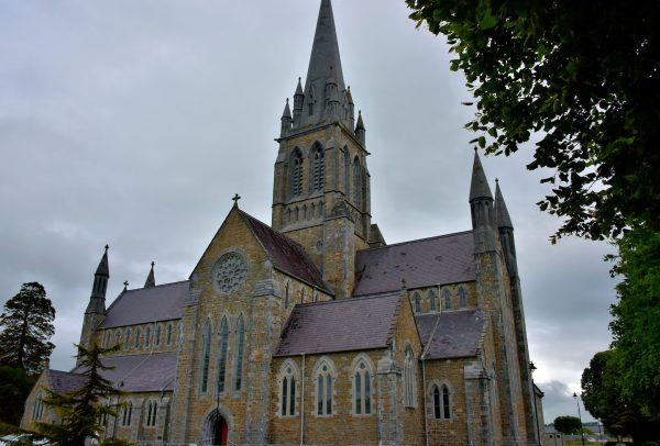 Church in Coill Bhaile Uí FhlaithimhChurch · 1705 yd
 KnockbegMountain / peak · 1.8 mi
 CarrigadavMountain / peak · 1.9 mi
 Graveyard in Baile An Chnocáin (tc An Cnoc Glas)Graveyard · 2.2 mi
 Site of Camp CastleCastle, unclassified · 2.7 mi
 Faisr's GraveArchaeological place · 2.7 mi
 CastleCastle, unclassified · 3.1 mi
 Glanteenassig Forest ParkForest · 3.3 mi
 Sandy Bay BeachBeach / strand · 4.6 mi
Other information
Photo: Credit not shown in the picture search · Rights wording not checked; contact us if this picture should be removed