What is recorded here
This site was located in rough boggy pastureland on the S slopes of the central mountain ridge overlooking the valley of the Emlagh river. On the 1st edition of the OS map it is shown as an irregularly-shaped field. On the 2nd edition it appears as a semi-circular univallate enclosure, open to SE. A fosse was shown around the E half of the site. The field was recently ploughed and the outline of the bank appears to be indicated by a band of soil with a significantly higher stone content than in the interior or in the surrounding field.
The above description is derived from J. Cuppage, ‘Corca Dhuibhne. Dingle Peninsula archaeological survey. Ballyferriter. Oidhreacht Chorca Dhuibhne’ (1986), no. 720. In certain instances the entries have been revised and updated in the light of recent research.
Date of upload: 7 August 2013
The monument record does not grant public access. Check the route and ask the landowner before entering private land.
- What survives
- Recorded monument
Places near here
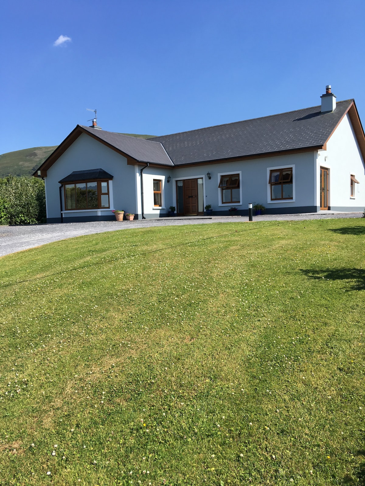 Hut site in An LuachairHut site · 231 yd
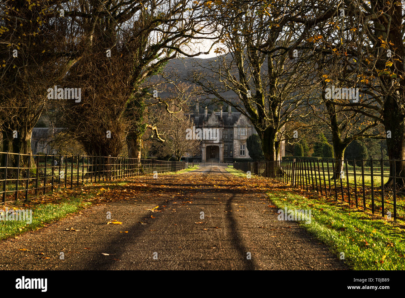 Man-made underground passage in An LuachairMan-made underground passage · 973 yd
 KnockbegMountain / peak · 1.2 mi
 EmlaghMountain / peak · 1.8 mi
 Church in Inch East (corkaguiny By.)Church · 2.3 mi
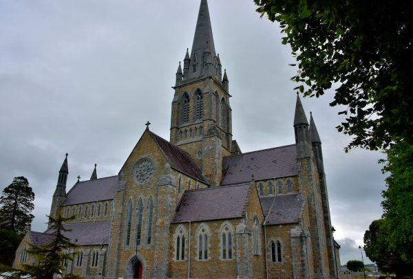 Church in Coill Bhaile Uí FhlaithimhChurch · 2.8 mi
 Glanteenassig Forest ParkForest · 3.0 mi
 Statue of Our LadyHeritage attraction · 3.8 mi
 Jerome ConnorMemorial · 3.8 mi
 Inch BeachBeach / strand · 4.0 mi
 Faisr's GraveArchaeological place · 4.0 mi
 Bunaneer StrandBeach / strand · 4.2 mi
Other information
Photo: Credit not shown in the picture search · Rights wording not checked; contact us if this picture should be removed