
What is recorded here
Inch Church/Teampall Inse: The 'Eccia de Inse' which appears on the Papal Taxation List (1302-7) for the diocese of Ardfert (Cal Docs Ire, V, 297) may refer to a 13th century church here or to a foundation on the Great Blasket Island (KE051-002002-) (Hickson 1886, 488). It has also been suggested that the church called 'Baliederscolle' (987) in the taxation was located at Inch (Ó Conchir 1973, 70).
The present remains are those of a rubble-built church represented only by the W gable and its attached return along the S wall. The church measured 5.6m wide internally and the walls, which survive to a maximum height of 2.2m, are 1.05m in thickness. Two corbels which project from the inner face of the S wall may indicate that a loft or gallery existed at the W end of the church. No architectural features are preserved, but the head of a round-headed window, discovered in the interior, indicates a light of similar width to the E window at Kilshannig (KE027-002001-).
In the graveyard which surrounds the church is a perforated sandstone block, .3m wide, carved on 4 sides with a roll moulding flanked by filleted keel moulding at the angles. It may have formed part of a font associated with the 13th century church.
The site lies c. 1km from the seashore on the S side of the peninsula.
The above description is derived from J. Cuppage, ‘Corca Dhuibhne. Dingle Peninsula archaeological survey. Ballyferriter. Oidhreacht Chorca Dhuibhne’ (1986), no. 985. In certain instances the entries have been revised and updated in the light of recent research.
Date of upload: 8 August 2013
The church at Inch East may have been built in the 13th century and is mentioned in the Papal Taxation List (1302–7) as 'Eccia de Inse' under the diocese of Ardfert. Its exact dedication and architectural style are not recorded, but it likely reflects early medieval ecclesiastical traditions in the region.
The monument record does not grant public access. Check the route and ask the landowner before entering private land.
- What survives
- Recorded monument
Places near here
 Man-made underground passage in Ballycullane (corkaguiny By.)Man-made underground passage · 921 yd
 Inch BeachVisitor information · 1305 yd
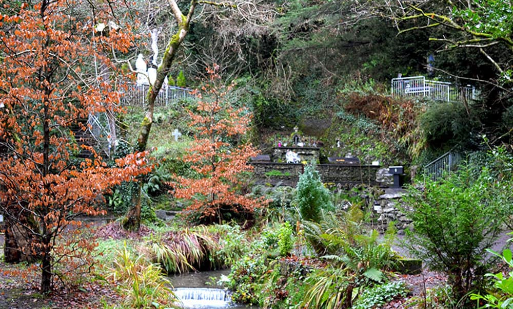 Holy well in BallinagrounHoly well · 1668 yd
 EmlaghMountain / peak · 1.3 mi
 BrickanyMountain / peak · 1.5 mi
 KilnKiln, corn-drying · 2.6 mi
 Church in LackChurch · 2.6 mi
 Cromane PointHeadland · 2.9 mi
 Cromane BeachBeach / strand · 3.6 mi
 Bunaneer StrandBeach / strand · 3.6 mi
 Statue of Our LadyHeritage attraction · 3.9 mi
 Jerome ConnorMemorial · 3.9 mi
Other information
Photo: Credit not shown in the picture search · Rights wording not checked; contact us if this picture should be removed