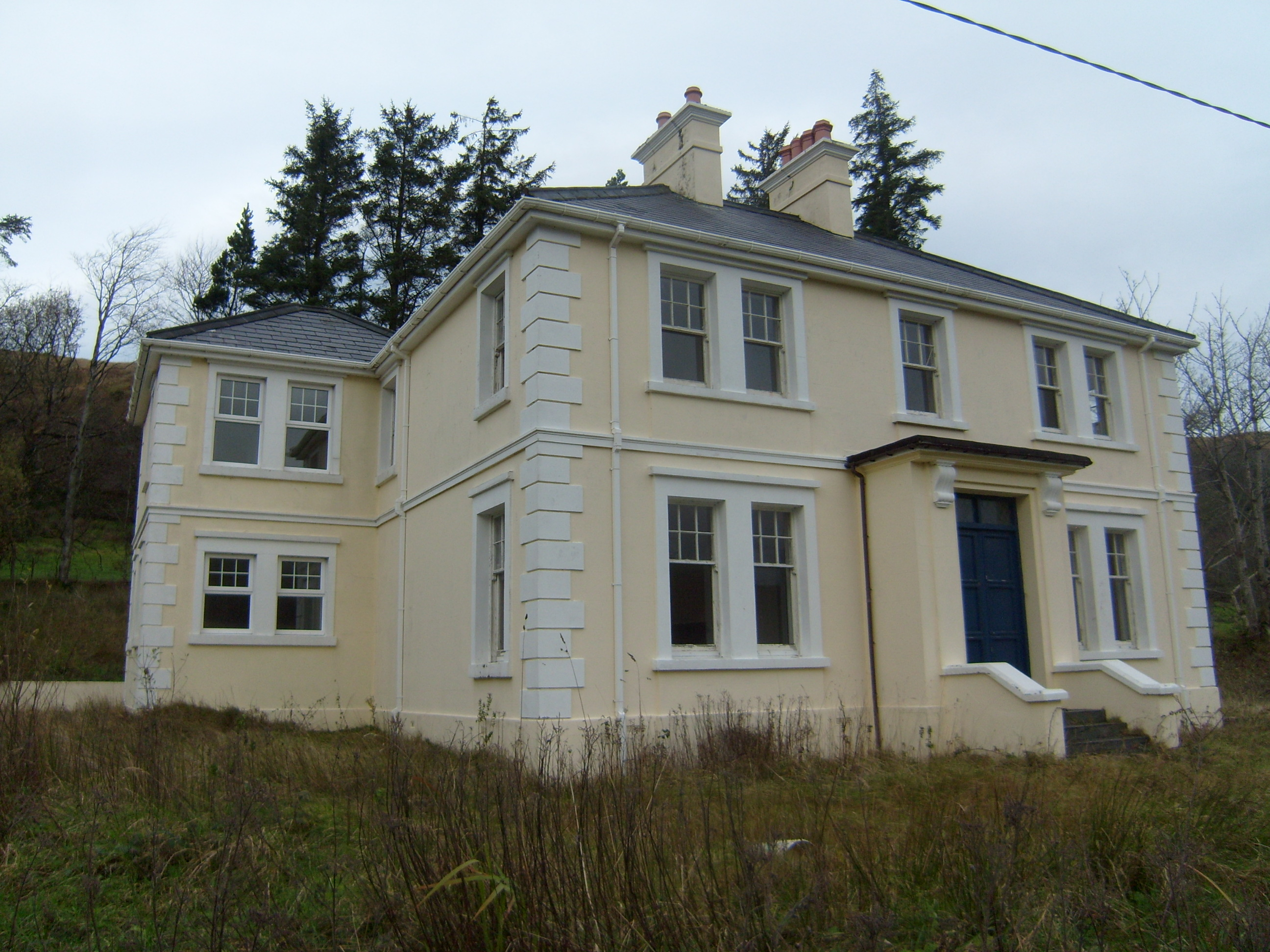
What is recorded here
Detached three-bay two-storey house, built c.1910, having projecting porch to front (southeast) elevation and single-bay projections to rear northeast and southeast corners. Hipped slate roofs with projecting eaves, paired rendered chimneystacks to mid-roof and replacement rainwater goods; flat roof to porch with…
Read the whole record
From the Buildings of Ireland (National Inventory of Architectural Heritage) record 40907502
Places near here
Photo credits
- Maker not stated on source page, www.travelingwithmj.com
- National Inventory of Architectural Heritage
- Maker not stated on source page, commons.wikimedia.org
- John Cromie, Geograph · CC BY-SA 2.0
- Robert Bone, Wikimedia Commons · CC BY-SA 2.0
- Maker not stated on source page, ru.pinterest.com
- louise price, Wikimedia Commons · CC BY-SA 2.0
- Kenneth Allen, Geograph · CC BY-SA 2.0
 Fairy fort / earthen ringfort in An Tseanga Mheáin (tc An Ghrafaidh)Fairy fort / earthen ringfort · 638 yd
Explorer Tom Fairy fort / earthen ringfort in An Tseanga Mheáin has a bank standing over two metres high on the north side. It’s a…
 Catholic Church of the Holy FamilyChurch/chapel · 640 yd
Explorer Tom Catholic Church of the Holy Family dates to 1906 and has a four-petal shape set inside a circle above its porch. The…
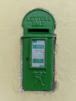 post box1568 yd
Explorer Tom Post box in Greenans, installed c.1870, keeps its raised VR lettering firmly planted at the bottom. It sits right in…
 McDevitt's BridgeBridge · 1574 yd
Explorer Tom McDevitt's Bridge, built c.1780, crosses the Owenea River on three segmental arches. Those cut-stone triangular…
 Burial ground in Lag Na GaileadhBurial ground · 1.3 mi
Explorer Tom The Burial ground in Lag Na Gaileadh is a quiet oval mound on the bank of the Owenea river. It holds a stone slab with…
 Aghla Mountain South TopMountain / peak · 2.8 mi
Explorer Tom Aghla Mountain South Top in Donegal claims there’s a shortcut, but it’s really just a fancy way of saying 'good luck…
 Aghla MountainMountain / peak · 3.0 mi
Explorer Tom Aghla Mountain would want 'Finally Rested' on its tombstone because it’s been holding up the sky for way too long…
 Mapped graveyardGraveyard · 3.7 mi
Explorer Tom The most dramatic thing to ever happen at this unmapped graveyard was a pigeon landing on a headstone with suspicious…
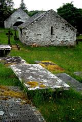 Inishkeel Graveyard near GlentiesGraveyard · 3.8 mi
Explorer Tom Inishkeel Graveyard near Glenties was rectangular in the older survey, but its south side sat on part of a roughly…
 Kennedy's Bar and RestaurantRestaurant · 4.5 mi
Explorer Tom Kennedy's Bar and Restaurant is definitely hiding a secret menu involving only cabbage and regret. I bet the barman…
 GlentiesHostel · 4.5 mi
Explorer Tom Glenties Hostel is where you sleep in a bed that has seen far too much drama already. Bring an earplug because snoring…
 St. Connell's Museum and Heritage CentreMuseum · 4.5 mi
Explorer Tom St Connell's Museum in Glenties makes an old courthouse speak about Donegal lives, from railway journeys to the people…
More historic places in County Donegal · All of County Donegal

What do you know about this place?Tap to add a comment or ask a question