What is recorded here
One chamber held half the village and the other half waited for the storm to finish. The first boy entered young and unsteady, the second returned older and certain, and the wall between them thinned until they touched. The chamber did not judge or praise. It showed that certainty and doubt belong to the same life, that love is not a reward but a muscle, and that the boy must stop waiting to be completed.
The 'Killeen Burial Ground' (DG075-004001-) marked on the 2nd and 3rd editions of the OS 6-inch maps consists of an oval mound (DG075-004003-) of earth and stone 1.28m high, 18.4m N-S and 13.7m E-W. 2.5m N of the top centre of the mound is a stone slab (DG075-004002-) .69m wide, .42m high and 0.09m to .12m thick. On this is a simple incised cross .2m long and 0.14m wide. The site is located in good pasture on the S bank of the Owenea river and E of one of its small tributaries.
The above description was derived from the 'Archaeological Survey of County Donegal. A description of the field antiquities of the County from the Mesolithic Period to the 17th century.' Compiled by: Brian Lacey with Eamon Cody, Claire Cotter, Judy Cuppage, Noel Dunne, Vincent Hurley, Celie O'Rahilly, Paul Walsh and Seán Ó Nualláin (Lifford: Donegal County Council, 1983). In certain instances the entries have been revised and updated.
Date of upload: 22 September 2008
The monument record does not grant public access. Check the route and ask the landowner before entering private land.
- What survives
- Recorded monument
Places near here
 Dermot & Grania's BedArchaeological place · 324 yd
 McDevitt's Bridgebridge · 641 yd
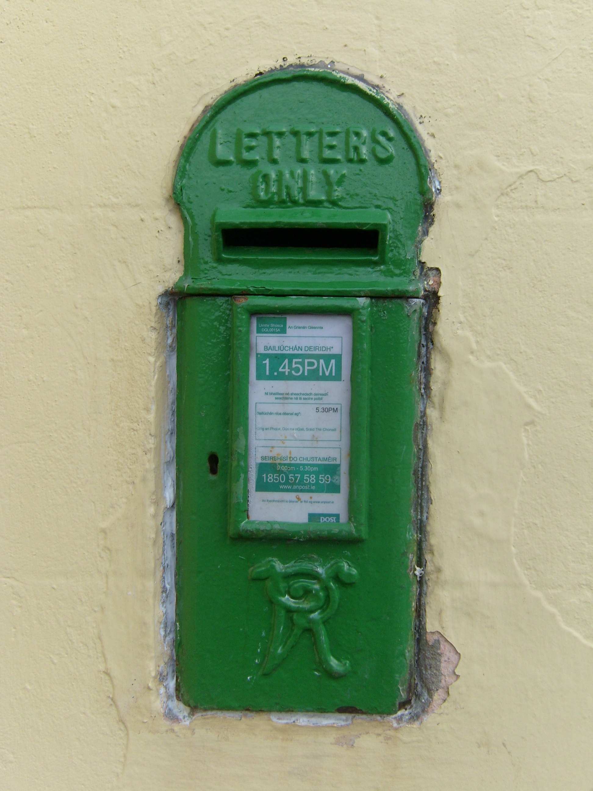 post boxpost box · 649 yd
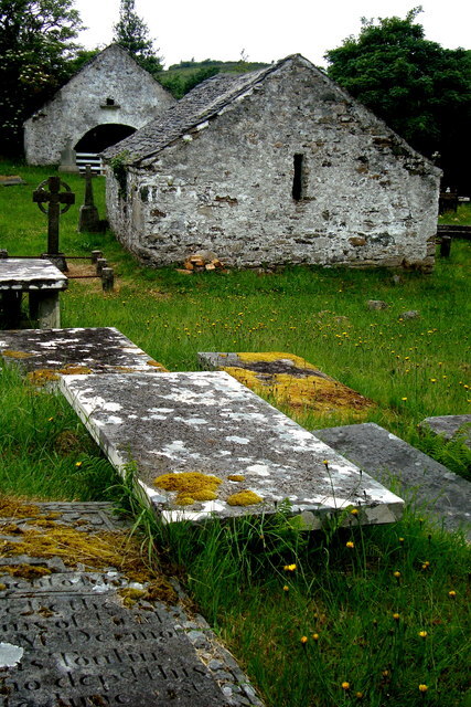 Inishkeel Graveyard near GlentiesGraveyard · 2.5 mi
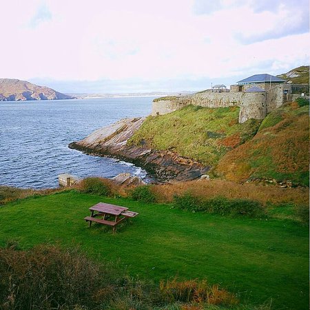 Drumnasillagh Inland Promontory FortPromontory fort, inland · 2.6 mi
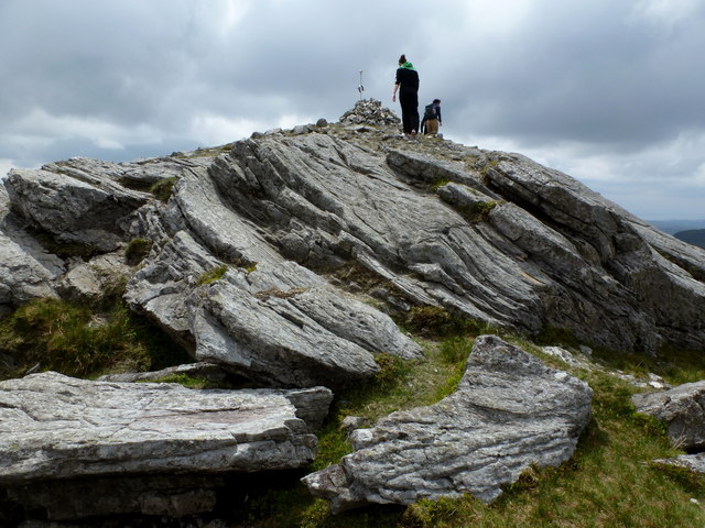 CarnaweenMountain / peak · 3.0 mi
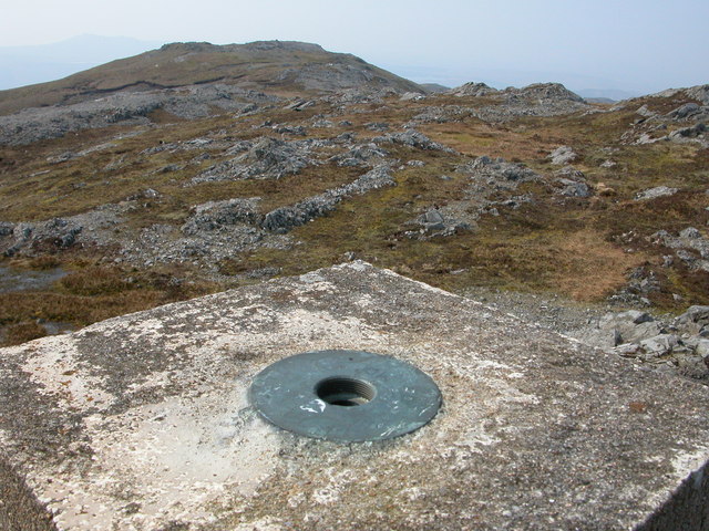 Aghla Mountain South TopMountain / peak · 3.2 mi
 St. Connell's Museum and Heritage CentreMuseum · 3.3 mi
 Disert GraveyardGraveyard · 4.1 mi
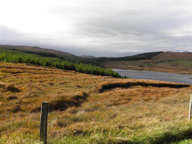 Derkmore Wood Nature ReserveNature reserve · 4.8 mi
 Wych ElmWych Elm · 5.9 mi
 Bonny Glen Wood - Bonny Glen walkOfficial walking route · 8.5 mi