What is recorded here
According to the Civil Survey of 1654-6 the large house of Darby O'Brien at Barnakile (WA023-011001-) was foritified by a bawn (WA023-011002-) and had outhoues, of which there is no surviving evidence (Simington 1929, 78).
Simington, R. C. (ed.) (1942) The Civil Survey AD 1654-1656, vi, the County of Waterford. Irish Manuscripts Commission. Dublin.
Date of upload: 25th March, 2011. Compiled by: Michael Moore
The monument record does not grant public access. Check the route and ask the landowner before entering private land.
- What survives
- Recorded monument
Places near here
 Bawn in BarnankileBawn · 402 yd
 farm housefarm house · 487 yd
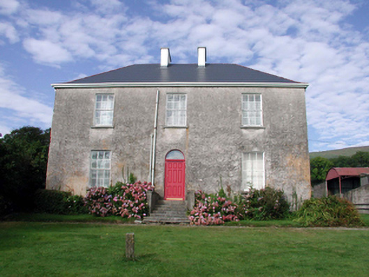 Mount Kennedyhouse · 725 yd
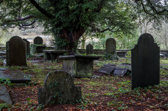 Grave YardGraveyard · 1263 yd
 Embanked enclosureFairy fort / earthen ringfort · 1659 yd
 CrohaunMountain / peak · 2.0 mi
 Coumaraglin MountainMountain / peak · 2.1 mi
 Bawn in Castlequarter (decies Without Drum By., Kilrossanty Par.)Bawn · 2.8 mi
 Standing StoneMemorial · 3.0 mi
 Crough WoodWood · 3.4 mi
 Magic Road (finish)Heritage attraction · 3.4 mi
 Magic Road (start)Heritage attraction · 3.5 mi