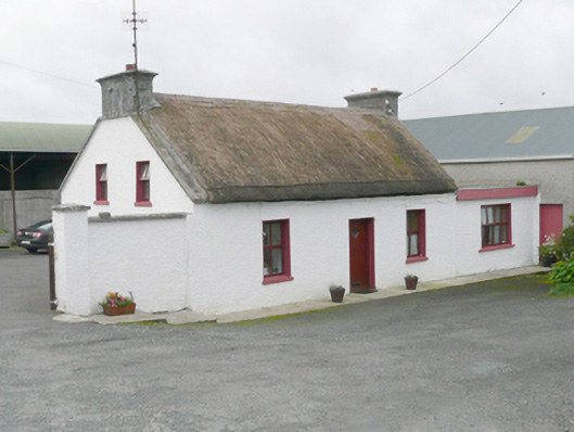
What is recorded here
Detached three-bay single-storey vernacular house with attic level, built c. 1825, having single-bay single-storey flat-roofed extension attached to the west. Pitched thatched roof with raised render verges and smooth rendered chimneystacks to the gable ends (east and west) having cornice copings over. Roughcast rendered walls. Square-headed window openings with painted concrete sills, and replacement timber casement windows. Central square-headed doorway to the north elevation having battened timber door. Set back from and perpendicular to road and accessed via laneway to Church of Christ the Redeemer, Rosnakill (see 40901701). Roughcast rendered boundary wall attached to the east gable end. Yard to rear (south) having collection of modern farm buildings and outbuildings. Located to the south of Rosnakill, and a short distance to the east of Doocarrick Bay.
Although modified and extended, this appealing and relatively intact example of a vernacular house retains its early form and character, and is an appealing feature in the scenic rural landscape to the west of south of Rosnakill on the Fanad Peninsula. Modest in scale, it exhibits the simple and functional form of vernacular building in Ireland. Of particular interest in the survival of the thatch roof, although recently renewed, which is now sadly becoming increasingly rare in Donegal. The rounded roof is a typical feature of thatched houses located close to the sea in exposed areas in the north-west of Ireland. The form of this building, having chimneystacks to the gable ends and a central doorway to the original building, suggests that this building is of the ‘direct entry’ type that is characteristic of the vernacular tradition in north-west Ireland. This building is aligned at a right-angle to the road-alignment, a feature of many vernacular houses in the area. This building appears to have formed the western building in a pair of attached vernacular buildings during the first half of the nineteenth century (Ordnance Survey first edition six-inch map of c. 1841); the building to the east was demolished prior to c. 1904 (Ordnance Survey twenty-five inch map). This house represents a fine surviving example of a once ubiquitous building type in the rural Irish countryside, and is a valuable addition to the vernacular heritage of County Donegal.
This does not grant access. Most recorded buildings are privately owned; view them only from public ground unless the owner allows entry.
Places near here
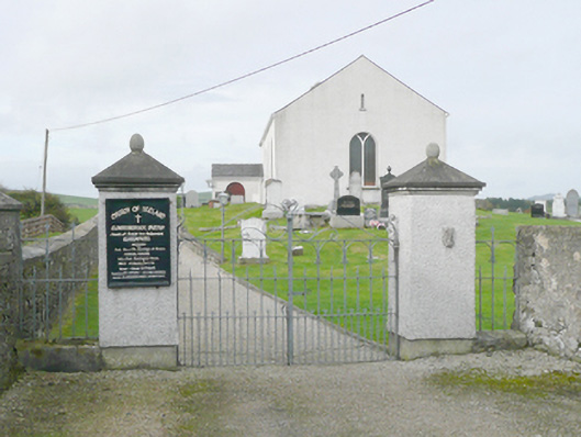 Church of Christ the Redeemerchurch/chapel · 78 yd
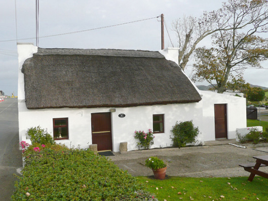 Kinard Cottagehouse · 510 yd
 Moross Fairy Fort / Low PlatformFairy fort / earthen ringfort · 1609 yd
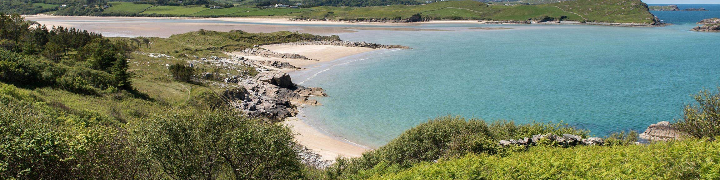 Croaghan Fairy FortFairy fort / earthen ringfort · 1.2 mi
 Moross CastleCastle, tower house · 1.3 mi
 PortsalonOfficial bathing water · 3.1 mi
 Ballymastocker StrandViewpoint · 3.6 mi
 Wild Atlantic Way:Ballymastocker StrandVisitor information · 3.6 mi
 HazelHazel · 3.7 mi
 Old CastleCastle, unclassified · 3.7 mi
 Wych ElmWych Elm · 3.7 mi
 Cranberry IslandIslet · 3.7 mi
Other information
Photo: National Inventory of Architectural Heritage · Website use allowed for educational or private purposes with source credit