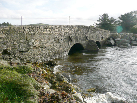
What is recorded here
Double-arched bridge carrying road over tidal estuary\unnamed stream flowing into Keadew Bay to the north-west, built c. 1780, having V-profile rubble stone cutwater to central pier to both the north and south elevations. Bridge rises from either end to centre creating slightly hump-backed from. Segmental-headed arches having rubble stone voussoirs; rubble stone construction to the arch barrels. Random rubble stone construction to pier, spandrels, and parapets. Modern repairs in places, cement coping to parapets. Cast-iron pattrice plates to side elevations (north and south) linked with wrought-iron tie bars. Water pipe to the north elevation. Tarmacadam deck. Located to the south of Rosnakill to the south-west of the Fanad Peninsula.
This simple but appealing double-arched road bridge retains much its early character and form, and is an appealing feature in the rural landscape to the south-west corner of the Fanad Peninsula. This bridge is robustly-constructed in local rubble stone masonry, and its continued survival and use stands as testament to the quality of its original construction, and of the skill of the masons involved. The slightly hump-backed form of this bridge, and the form of the arches, suggests that this bridge may date to the second half of the eighteenth century, a period that witnessed a large expansion in the rural road network in Ireland - and the subsequent building of numerous bridges - which was mainly carried out by the Grand Juries (the forerunners of the County Councils). The small arches with unrefined voussoirs and the rubble stone construction gives this bridge a vernacular quality. This appealing bridge is an integral element of the built heritage and transport heritage of the local area, and makes a positive contribution to the landscape.
This does not grant access. Most recorded buildings are privately owned; view them only from public ground unless the owner allows entry.
Places near here
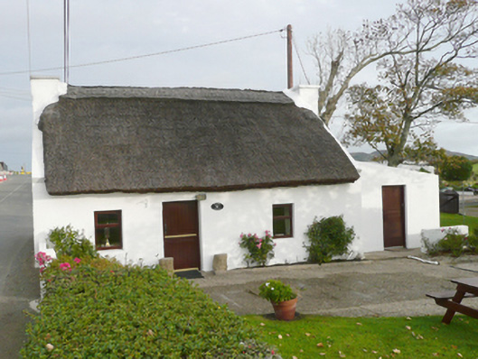 Kinard Cottagehouse · 267 yd
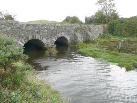 New Bridgebridge · 394 yd
 Moross Fairy Fort / Low PlatformFairy fort / earthen ringfort · 1.2 mi
 Former Umrycam Ridge EnclosureEnclosure · 1.4 mi
 Moross CastleCastle, tower house · 1.6 mi
 PortsalonOfficial bathing water · 3.1 mi
 Cranberry IslandIslet · 3.3 mi
 Ballymastocker StrandViewpoint · 3.5 mi
 Wild Atlantic Way:Ballymastocker StrandVisitor information · 3.5 mi
 Wych ElmWych Elm · 3.9 mi
 HazelHazel · 3.9 mi
 Old CastleCastle, unclassified · 3.9 mi
Other information
Photo: National Inventory of Architectural Heritage · Website use allowed for educational or private purposes with source credit