
What is recorded here
Overall Diam. 17m. A low earthen platform circular in plan. It stands on ground that slopes gently downwards from N to S and E to W and has been built up as required to make it level. The platform edge is c. 0.7m high close to the SE, SW and NW points and c. 0.3m on the NE. Around the perimeter there is an ill-defined and low raised edge which might be the remains of a levelled bank. A break in the perimeter about 3m wide on the SW from which an earthen ramp slopes to the ground outside might be an original entrance. The ringfort is on low-lying gently sloping ground overlooking the waters of Mulroy Bay c. 150m to the S in good grazing land.
The above description was derived from the 'Archaeological Survey of County Donegal. A description of the field antiquities of the County from the Mesolithic Period to the 17th century.' Compiled by: Brian Lacey with Eamon Cody, Claire Cotter, Judy Cuppage, Noel Dunne, Vincent Hurley, Celie O'Rahilly, Paul Walsh and Seán Ó Nualláin (Lifford: Donegal County Council, 1983). In certain instances the entries have been revised and updated.
Date of upload: 22 September 2008
Moross Fairy Fort, also known as Low Platform, is a circular earthen ringfort measuring approximately 17 meters in diameter, likely dating to the early medieval period. It is associated with local folklore referring to it as a "fairy fort," a term often linked to supernatural or otherworldly beliefs in Irish tradition.
The monument record does not grant public access. Check the route and ask the landowner before entering private land.
- What survives
- Recorded monument
Places near here
 Moross CastleCastle, tower house · 654 yd
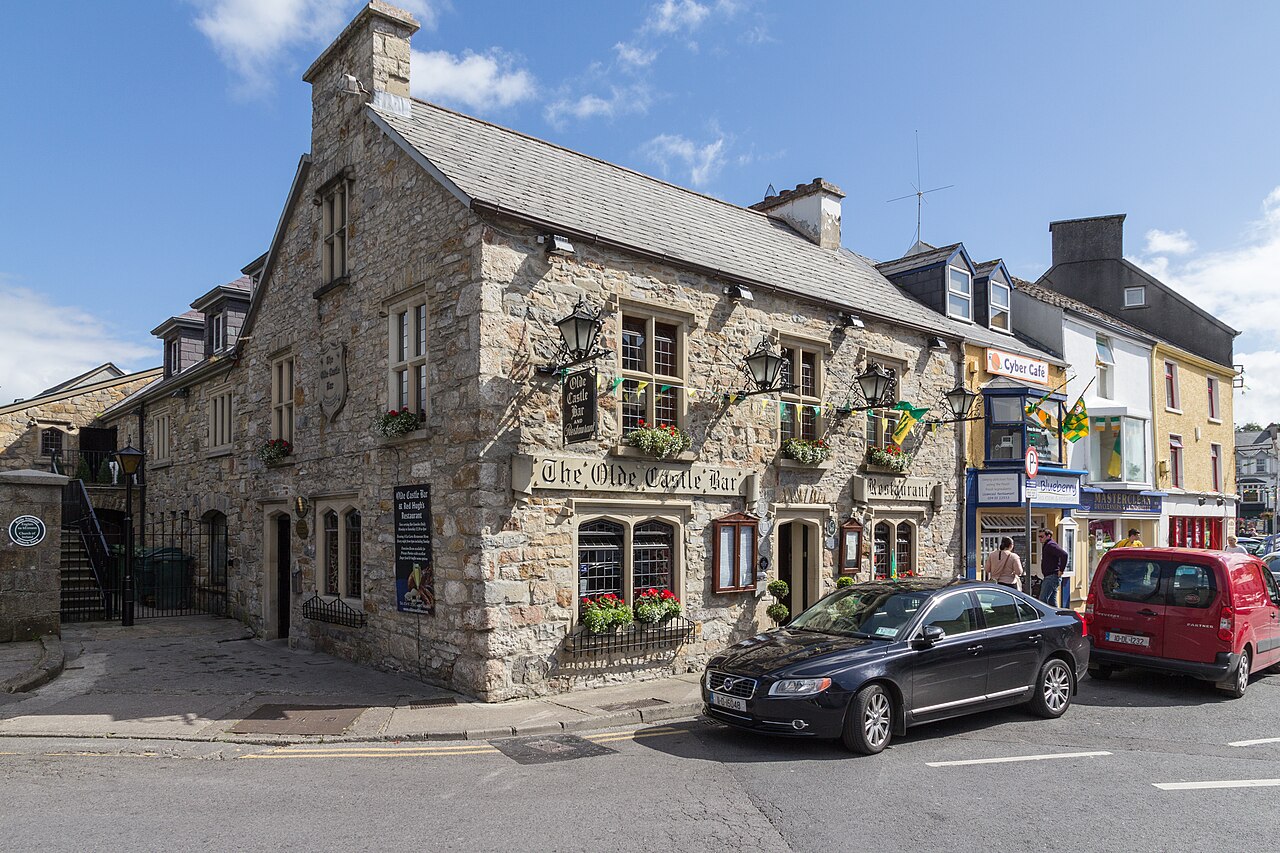 Former Doocarrick Fairy FortFairy fort / ringfort · 1014 yd
 Church in BallyheerinChurch · 1373 yd
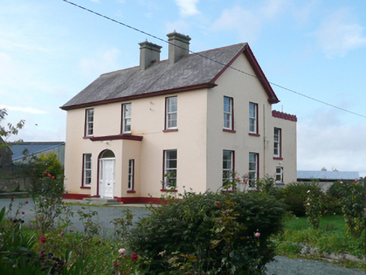 St. Columba's Parochial Housepresbytery/parochial/curate's house · 1400 yd
 Former Umrycam Ridge EnclosureEnclosure · 1561 yd
 Cranberry IslandIslet · 4.0 mi
 PortsalonOfficial bathing water · 4.0 mi
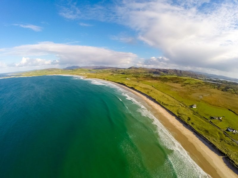 Ballyhiernan, FanadOfficial bathing water · 4.0 mi
 HazelHazel · 4.2 mi
 Old CastleCastle, unclassified · 4.3 mi
 Wych ElmWych Elm · 4.3 mi
 Ballymastocker StrandViewpoint · 4.5 mi
Other information
Photo: Credit not shown in the picture search · Rights wording not checked; contact us if this picture should be removed