
What is recorded here
Detached three-bay two-storey house, built c.1880. Recent extensions to rear. Pitched artificial slate roof with rendered chimneystacks and uPVC rainwater goods. Painted rendered walls. Square-headed openings with two-over-two timber sliding sash windows and stone sills. Square-headed door opening. Enclosed to front…
Read the whole record
From the Buildings of Ireland (National Inventory of Architectural Heritage) record 20911401
Places near here
Photo credits
- Maker not stated on source page, www.alamy.com
- Richard Webb, Geograph · CC BY-SA 2.0
- Jonathan Thacker, Wikimedia Commons · CC BY-SA 2.0
- Maker not stated on source page, global-geography.org
- Maker not stated on source page, www.joinmychurch.com
- Maker not stated on source page, telugu.samayam.com
- John M, Geograph · CC BY-SA 2.0
- Maker not stated on source page, www.pinterest.com
- John Gibson, Wikimedia Commons · CC BY-SA 2.0
- John Gibson, Geograph · Creative Commons Attribution-ShareAlike 2.0
- This Photo was taken by Timothy A. Gonsalves . Feel free to use my photos, but please mention me as the author. I would much appreciate if you send me an email tagooty@yahoo.com or write on my talk page , for my information. Please contact me before commercial use. Please do not upload an edited image here without consulting me. I would like to make corrections only at my own source to ensure that the changes improve the image and are preserved. Otherwise you may upload an edited image with a new name. Please use one of the templates derivative or extract ., Wikimedia Commons · CC BY-SA 4.0
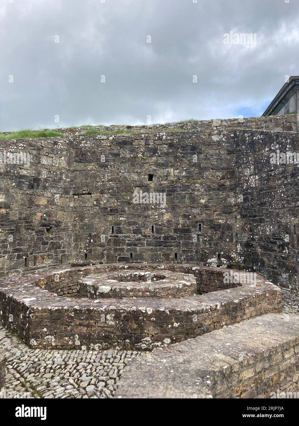 Enclosure in CaherkeenEnclosure · 815 yd
Explorer Tom Enclosure in Caherkeen is a tiny circle of scattered stones, only 10.8 metres across. Some are set into the ground…
 Eagle HillMountain / peak · 1245 yd
Explorer Tom Eagle Hill has a secret talent for balancing rocks on its rocky shoulders without falling over, which is impressive…
 KnocknagallaunMountain / peak · 1384 yd
Explorer Tom Knocknagallaun would win the county fair by standing still and looking very impressive while everyone else runs around.…
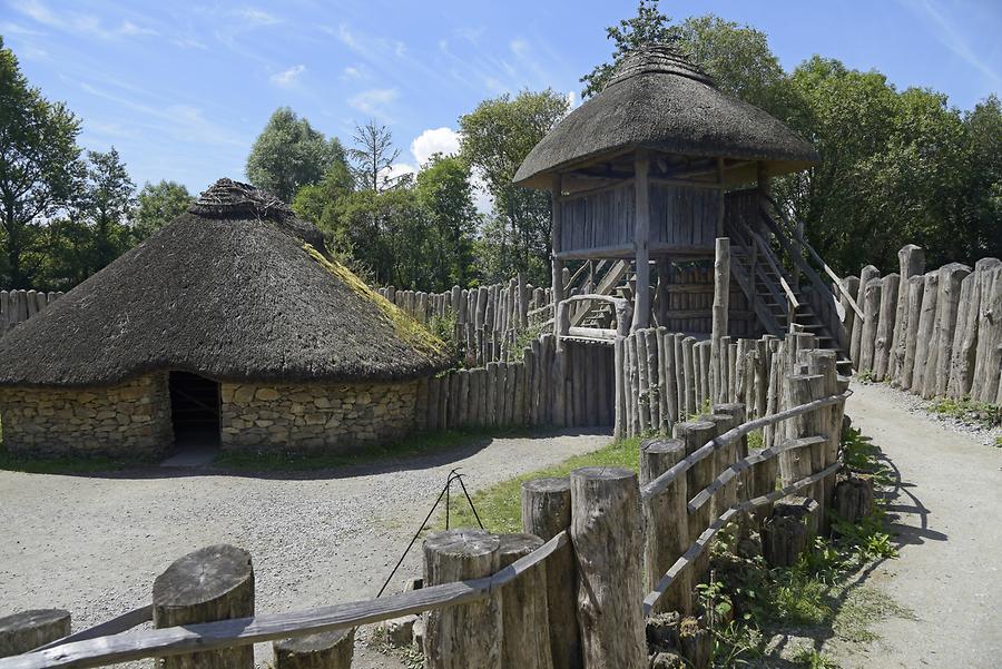 Fairy fort / earthen ringfort in CaherkeenFairy fort / earthen ringfort · 1717 yd
Explorer Tom Fairy fort / earthen ringfort in Caherkeen has a scarp that is 2.2 metres high on one side. It's stone-faced in parts…
 Church in ReentruskChurch · 1.1 mi
Explorer Tom Church in Reentrusk is the Church of the Hermit, which sounds like a very lonely guy who just wanted some peace. It’s…
 IllaunleaIslet · 1.3 mi
Explorer Tom Illaunlea is having a real drama with the nearest tree, arguing over who gets more sunlight every single morning…
 DooneenViewpoint · 1.3 mi
Explorer Tom Dooneen is planning its retirement by deciding which cloud looks most like a comfortable sofa to nap on for the next…
 Anomalous stone group in CaherkeenAnomalous stone group · 1.3 mi
Explorer Tom Anomalous stone group in Caherkeen is three low stones sticking out of the bog like they're trying to escape. If it won…
Fairy fort / stone ringfort in CaherkeenFairy fort / stone ringfort · 1.5 miExplorer Tom Fairy fort / stone ringfort in Caherkeen is actually just a semicircular arc enclosing a small orchard called 'gairdín…
 Mine engine house in CloanMine engine house · 1.6 mi
Explorer Tom Mine engine house in Cloan is where the heavy machinery lived before it moved to the countryside to find itself. It…
 Mountain Mine Engine HouseEngine house · 1.7 mi
Explorer Tom Mountain Mine Engine House in Cloan is a circular tower that helped pull people up from the copper mines. Built in…
 Allihies Copper Mine MuseumMuseum · 2.1 mi
Explorer Tom Allihies Copper Mine Museum sits at the far end of the Beara Peninsula, where the Atlantic looks ready to swallow the…
More historic places in County Cork · All of County Cork

What do you know about this place?Tap to add a comment or ask a question