
What is recorded here
Discovered in 1986 during construction of Bruff-Mallow gas pipeline (Gowen 1988, 44-51; site 1/19/2). Excavated area (6.5m x 4m) revealed linear trench (long axis N-S), with several post-holes on W (inner) side, and two shallow pits/hollows on E side; along E edge of excavated area was 'a probably unrelated' (ibid.,…
Read the whole record
From the National Monuments Service (Archaeological Survey of Ireland) record CO016-226001
Places near here
Photo credits
- Maker not stated on source page, pl.pinterest.com
- National Inventory of Architectural Heritage
- Maker not stated on source page, www.isle-of-mull.net
- Maker not stated on source page, it.pinterest.com
- Maker not stated on source page, commons.wikimedia.org
- Buttevant GAA club account; individual photographer not stated, x.com
- Maker not stated on source page, fi.pinterest.com
- Mike Searle, Geograph · CC BY-SA 2.0
- Maker not stated on source page, random-times.com
 Earthwork in Knockbarry (orrery and Kilmore By., Buttevant Par.)Earthwork · 765 yd
Explorer Tom Earthwork in Knockbarry was levelled in 1983 because apparently someone wanted to play golf on ancient history. It’s…
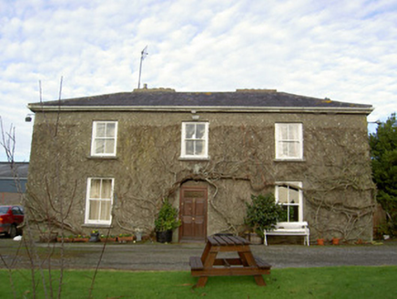 Glenville HouseHouse · 988 yd
Explorer Tom Glenville House in Bregoge might have been built to house militia members at Buttevant, which means it’s seen more…
 Standing stone in Grange West (orrery and Kilmore By.)Standing stone · 1093 yd
Explorer Tom Standing stone in Grange West is playing hard to get, sitting next to a cooking pit with packing stones at its base…
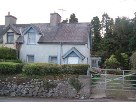 Knockbarry CottagesHouse · 1396 yd
Explorer Tom Knockbarry Cottages are labourers' homes that kept their timber windows and battened doors. I reckon they took more…
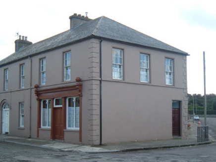 Castle ViewOutbuilding · 1515 yd
Explorer Tom Castle View in Creggane is a courtyard complex that caused the whole parish to argue about its brick arches. It’s an…
 Fairy fort / earthen ringfort in Boherascrub WestFairy fort / earthen ringfort · 1640 yd
Explorer Tom Fairy fort / earthen ringfort in Boherascrub West would tell any teenager that the 1800s were basically just a long…
 The RectoryRectory/glebe/vicarage/curate's house · 1688 yd
Explorer Tom The Rectory in Castleland was built for a minister who definitely needed a bigger pub tunnel. It’s got original timber…
 Church in CastlelandChurch · 1734 yd
Explorer Tom Church in Castleland has two ancient churches named after saints that have completely vanished, leaving us with nothing…
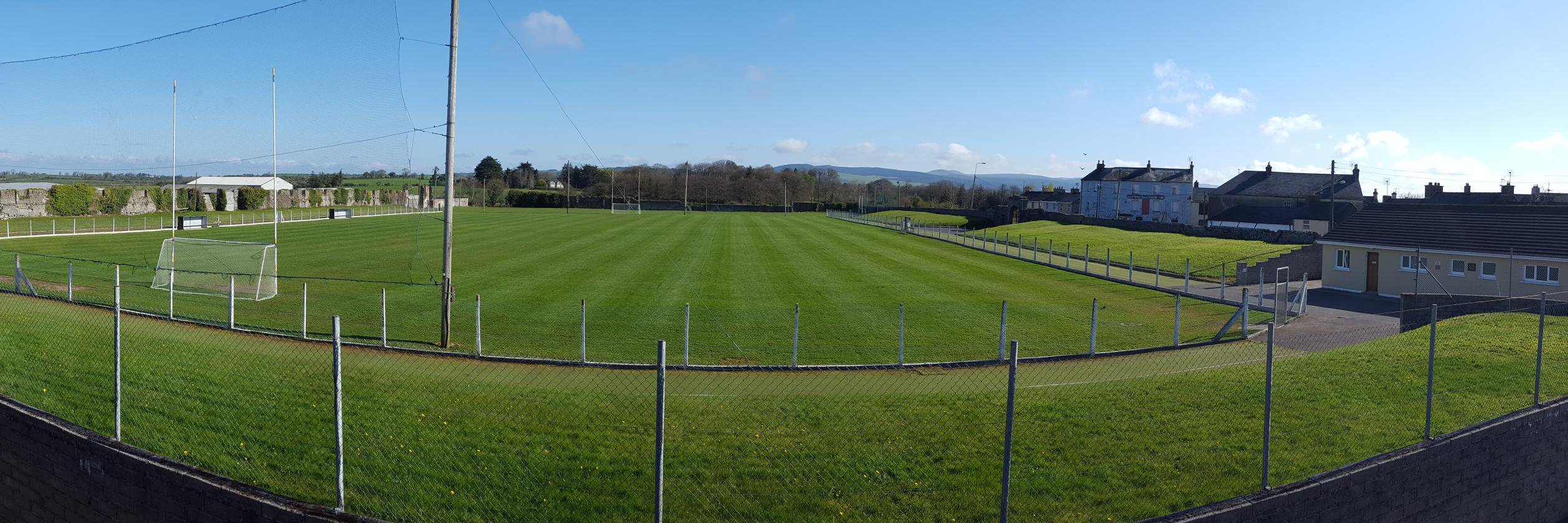 Buttevant GAA pitchGAA ground · 1.2 mi
 Kilmaclenine Castle (in Ruins)Castle, Anglo-Norman masonry castle · 1.8 mi
Explorer Tom Kilmaclenine Castle has an imaginary fan club of rocks and clouds that keep visiting to admire its view from the…
 Kilmaclenine CastleCastle · 1.8 mi
Explorer Tom Kilmaclenine Castle in County Cork is basically a rectangular court with no walls, which makes me think the builders…
 Kilmaclenine GraveyardGraveyard · 1.9 mi
Explorer Tom Kilmaclenine Graveyard in County Cork has a family tree that is ninety percent invented to make it sound more…
More archaeology and monuments in County Cork · All of County Cork

What do you know about this place?Tap to add a comment or ask a question