What is recorded here
Cookstown Great 3 held two rectangular Neolithic houses within eight metres of each other on a slight north-facing slope in County Meath. One house measured 6.8m east-west and 5m north-south, its slot-trench packed with stones and marked by a single central posthole on the east wall. Charred hazelnut and pottery from the trench and a nearby pit date the place to roughly 3702-3526 cal. BC, while later Bronze Age, Iron Age and medieval features overlapped the same ground.
Situated in a gently undulating landscape. Archaeological testing (04E0918) by D. Nelis (2005) in Testing Area 9 of Contract 4 of the M3 motorway (excavations.ie 2004:1213) identified archaeological material that was excavated (E003139) by G. McLoughlin (2010) as Cookstown Great 3 during February and March 2007 when an area of 8200 square metres was opened and six phases of activity were recognized (excavations.ie 2007:1292). This is part of the complex of prehistoric structures recorded in three excavations at Kilmainham 1, the centre of which was c. 300m to the N. In Cookstown Great there were two rectangular Early Neolithic houses within 8m of each other, and two circular Early Bronze Age hut-sites were also placed close together. These were associated with a burnt mound (B), and there was another burnt mound (A) from the Early Iron Age. Some pits date to the Early Medieval period, and all features were damaged to some extent by post-medieval furrows.
The two Neolithic houses were situated at the top of a slight N-facing slope. Structure A (int. dims 6.8m E-W; 5m N-S) was just E of Structure B and was defined by a slot-trench which was most substantial (Wth 0.46m; D 0.35m) at the E side. The trench turned inwards at the S end of the E and W sides but most of the S trench was absent. Much of this can be attributed to two intrusive features, a pit and a NNW-SSE ditch, but it is possible that there were two wide entrances on this side of the house and there is another large gap (Wth 1.75m) at the W end of the slot-trench at N. A small amount of Early Neolithic pottery and some flints were recovered from the slot-trench which had plenty of stones for packing but only one posthole was present at the centre of the E wall and this produced a sherd of a carinated bowl. A charred hazelnut shell from the slot-trench produced a C14 date of 3702-3536 cal. BC (UBA 11089) which closely matches a date of 3651-3526 cal. BC (UBA 11090) from a small internal pit N of the centre that may have been a hearth but which also produced sherds of a carinated bowl. Some external pits that produced Neolithic pottery may be contemporary but there were also medieval pits in the area. (McLoughlin 2010, 5-8)
See the attached plans adapted from McLoughlin (2010, figs 5, 7)
ME017-089_1 Location;
ME017-089001-_1 Plan;
Compiled by: Michael Moore
Date of upload: 23 March 2022
The monument record does not grant public access. Check the route and ask the landowner before entering private land.
- What survives
- Recorded monument
Places near here
 Enclosure in Kilmainham (kells Upper By., Teltown Par.)Enclosure · 519 yd
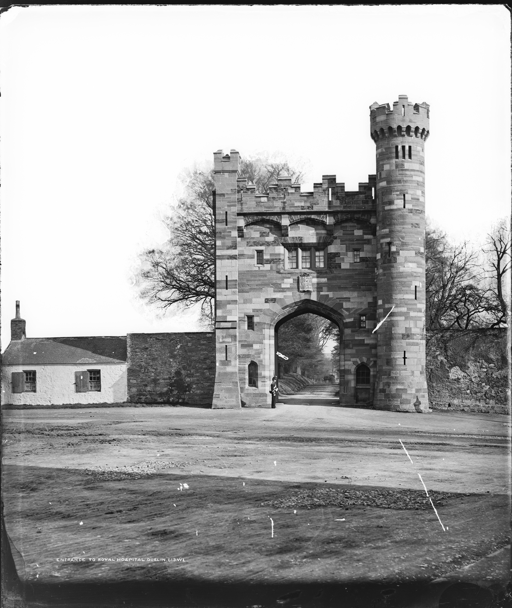 Enclosure in Kilmainham (headford)Enclosure · 1488 yd
 Long WoodWood · 1.0 mi
 Furzy WoodWood · 1.0 mi
 CastleCastle, motte · 1.2 mi
 Castle ruinsCastle · 1.2 mi
 Eurekahouse · 1.4 mi
 Kenlis Lodgehouse · 1.4 mi
 Saint John's CemeteryMemorial · 1.5 mi
 The Parnell GardenMemorial · 1.5 mi
 BallybegMountain / peak · 1.5 mi
 BalreaskMountain / peak · 3.1 mi