What is recorded here
On a SE-facing slope of hill in hilly terrain under pasture. Within a moated site (TS062-008001-) there is a house platform (dims. 15m NE-SW; 12.1m NW-SE ) which utilises the NW bank of the moated site to form its NW side and is otherwise defined by scarp (H 0.95m). The house platform, noted by Barry (1977, 77, 207) takes advantage of the natural rise in slope, to form a raised area above the level interior of the moated site which is quite wet, as evidenced by rushes.
Compiled by: Jean Farrelly
Date of upload: 8 October 2014
The monument record does not grant public access. Check the route and ask the landowner before entering private land.
- What survives
- Recorded monument
Places near here
 Enclosure in Knockanglass (killenaule Par.)Enclosure · 560 yd
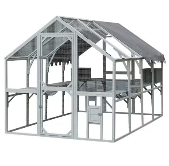 EnclosureEnclosure, large enclosure · 1016 yd
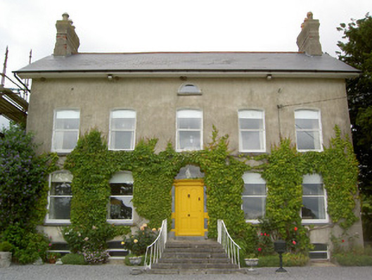 Lismortagh Househouse · 1077 yd
 Mortlestown Castle RuinCastle · 1334 yd
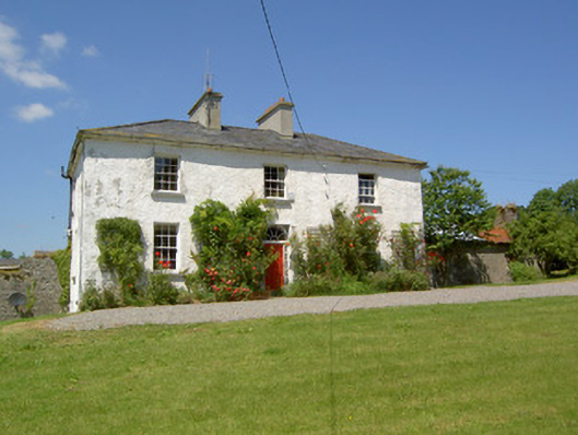 Knockanglass Househouse · 1544 yd
 Site of CastleCastle, unclassified · 1.2 mi
 Eagle HillMountain / peak · 2.7 mi
 Noan WoodWood · 3.1 mi
 Taylor's WoodWood · 3.6 mi
 Kilknockan HillMountain / peak · 3.6 mi
 Gobban Saer's GraveArchaeological place · 4.6 mi
 East GateMemorial · 4.8 mi