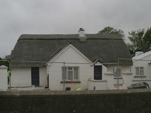
What is recorded here
Detached four-bay single-storey lobby entry thatched farmhouse with dormer attic, extant 1840, on a T-shaped plan centred on single-bay single-storey gabled windbreak abutting single-bay single-storey gabled projecting bay. Undergoing "restoration", 2005. Chicken wire-covered replacement hipped oat thatch roof on a T-shaped plan centred on pitched (gabled) corrugated-iron roofs with exposed hazel lattice stretchers to raised ridge having exposed scallops, cement rendered off-central chimney stack having stepped capping supporting terracotta pots, and exposed hazel stretchers to eaves having exposed scallops. Replacement cement rendered battered walls with cement rendered battered buttress along rear (south) elevation. Square-headed off-central door opening with concealed dressings framing replacement glazed timber panelled door. Square-headed window openings with shallow sills, and concealed dressings framing timber casement windows with two-over-two timber sash windows to gables to side elevations having part exposed sash boxes. Road fronted with replacement cement rendered piers to perimeter having pyramidal capping.
A farmhouse identified as an integral component of the vernacular heritage of south County Wexford by such attributes as the rectilinear lobby entry plan; the construction in unrefined local materials displaying a pronounced battered silhouette with sections of "daub" or mud suggested by an entry in the "House and Building Return" Form of the National Census (NA 1901; NA 1911); the disproportionate bias of solid to void in the massing; and the high pitched roof showing a replenished oat thatch finish. Having been well maintained, the elementary form and massing survive intact together with quantities of the historic or original fabric, thus upholding much of the character or integrity of a farmhouse making a pleasing visual statement in a rural village setting presently (2007) undergoing extensive "suburban" development.
This does not grant access. Most recorded buildings are privately owned; view them only from public ground unless the owner allows entry.
Places near here
 post boxpost box · 284 yd
 Rosslare Harbour Maritime Heritage CentreMuseum · 305 yd
 Church (Site of)Church · 391 yd
 farm housefarm house · 392 yd
 Site of CastleHouse, 17th century · 841 yd
 CastleCastle, tower house · 1087 yd
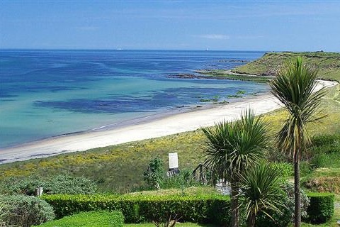 Moran's Bay PostVisitor information · 1740 yd
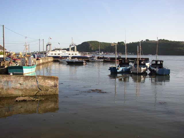 IndicatedBawn · 1.0 mi
 The Fairy Stone/RockNamed rock · 1.7 mi
 Shernock Hill/Knocks HillMountain / peak · 2.3 mi
 Lady's IslandVisitor information · 2.5 mi
 ScargeenIsland · 2.7 mi
Other information
Photo: National Inventory of Architectural Heritage · Website use allowed for educational or private purposes with source credit