What is recorded here
Situated on a natural hillock with good views in all directions. Described in the Civil Survey (1654-6) as 'a Castle and the Walls of a stone house out of repaire' (Simington 1931, vol. 1, 78). James Earl of Ormond is listed as proprietor in 1640 (ibid.). Though the tower house (TN029-062002) may have been modified and inhabited in the seventeenth century, the reference in the Civil Survey suggests that the stone house was a separate building.
The above description is derived from 'The Archaeological Inventory of County Tipperary. Vol. 1 - North Tipperary' compiled by Jean Farrelly and Caimin O'Brien (Dublin: Stationery Office, 2002). In certain instances the entries have been revised and updated in the light of recent research.
Date of upload/revision: 22 September 2008
The monument record does not grant public access. Check the route and ask the landowner before entering private land.
- What survives
- Recorded monument
Places near here
 Castle (in Ruins)Bawn · 14 yd
 Abbey Lodgegate lodge · 208 yd
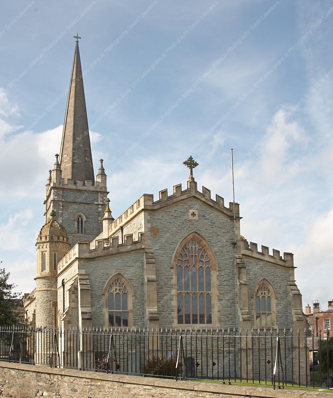 Templemore Church in ruinsChurch · 280 yd
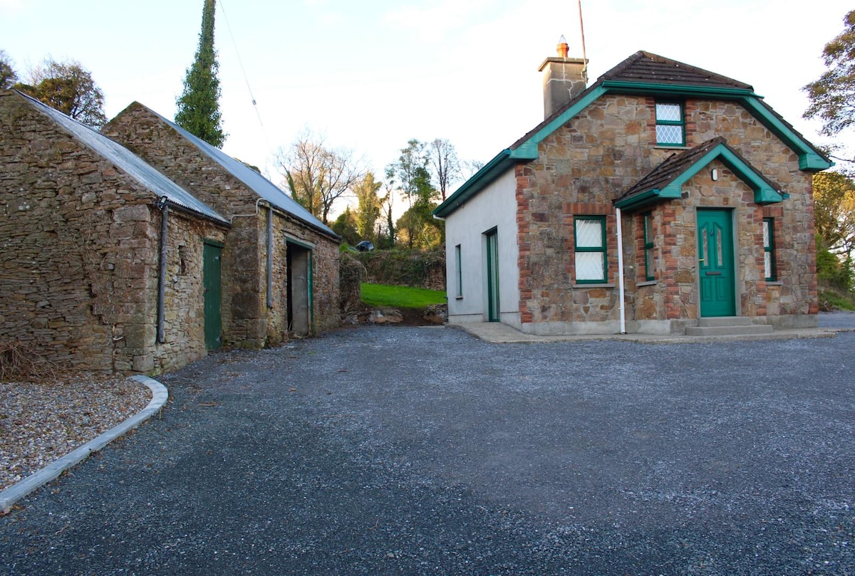 Font in Ballycahill (templemore Par.)Font · 1156 yd
 Morris's GroveForest · 1651 yd
 Enclosure in OldtownEnclosure · 1706 yd
 CastleCastle, unclassified · 1.5 mi
 College HillMountain / peak · 2.2 mi
 Devil's Bit MountainMountain / peak · 3.5 mi
 Kilvilcorris BogForest · 3.9 mi
 T. Morkanhouse · 301 yd
 E.J. Greyhouse · 330 yd